


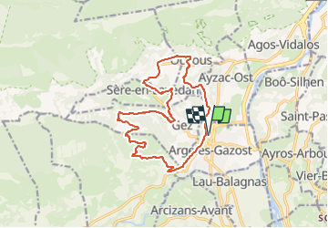


4.2 km | 6.8 km-effort


User


FREE GPS app for hiking
 SityTrail
IGN / Geographical institutes
SityTrail World
The world is yours!
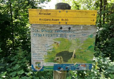
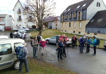
Trail Walking of 16.3 km to be discovered at Occitania, Hautespyrenees, Argelès-Gazost. This trail is proposed by mitch1952.
IBP 79 Cotation E4 T2 R2

Walking

Walking

Electric bike
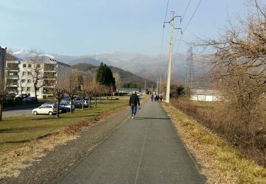
Walking
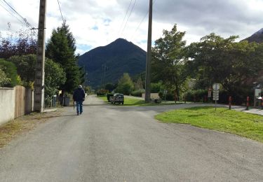
Walking
Walking
Walking

Walking
Walking