


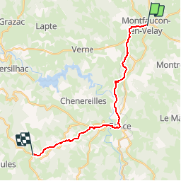


17.7 km | 23 km-effort


User


FREE GPS app for hiking
 SityTrail
IGN / Geographical institutes
SityTrail World
The world is yours!
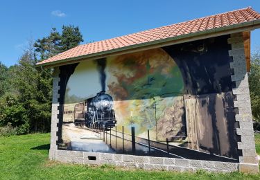
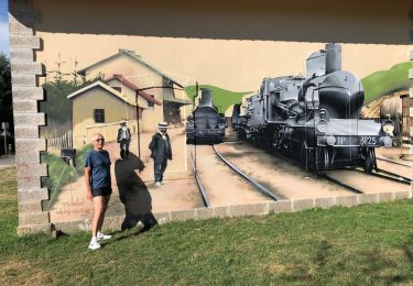
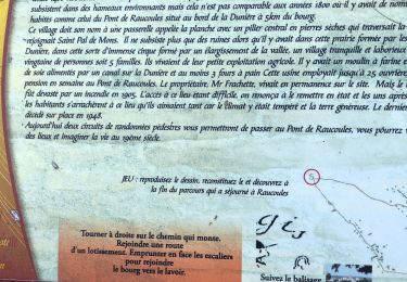
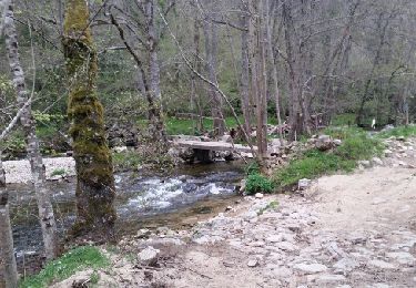
Trail Walking of 18.7 km to be discovered at Auvergne-Rhône-Alpes, Haute-Loire, Montfaucon-en-Velay. This trail is proposed by martinstalder.
1. Etappe 2014 22.7.14
Mountain bike
Walking
Walking
Mountain bike
Mountain bike
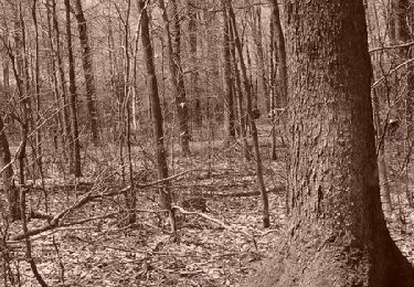
Walking

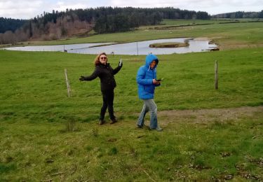
Walking
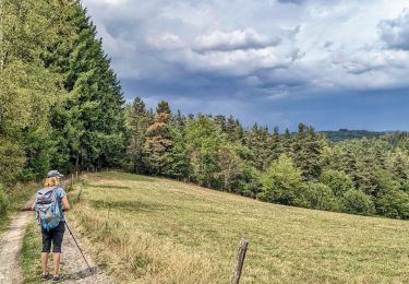
Walking

Walking