


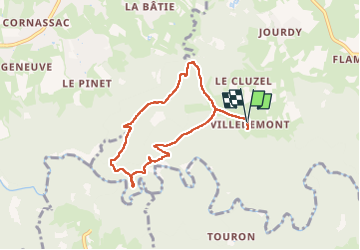

14.9 km | 20 km-effort

User


FREE GPS app for hiking
 SityTrail
IGN / Geographical institutes
SityTrail World
The world is yours!
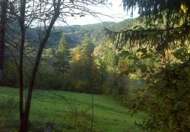
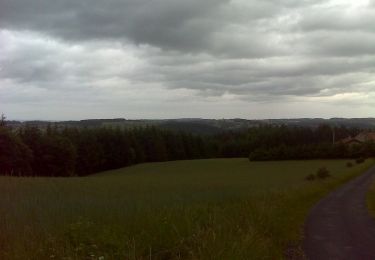
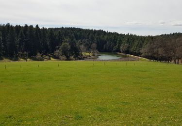
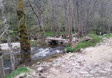
Trail Walking of 7.1 km to be discovered at Auvergne-Rhône-Alpes, Haute-Loire, Saint-Pal-de-Mons. This trail is proposed by famillerudent.
petite boucle de 7 km pour acceder à la superbe chapelle st julien


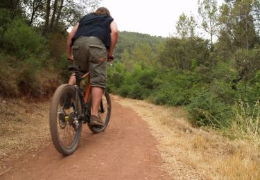
Mountain bike
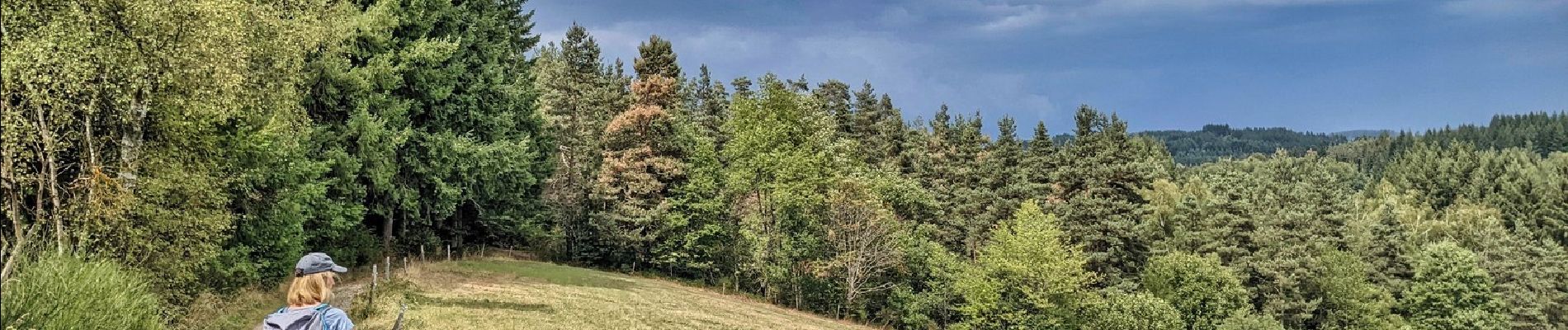
Walking

Walking
Walking
Walking
Mountain bike
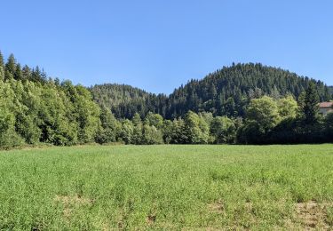
Walking
Walking
Walking