


7.5 km | 11.7 km-effort

User


FREE GPS app for hiking
 SityTrail
IGN / Geographical institutes
SityTrail World
The world is yours!
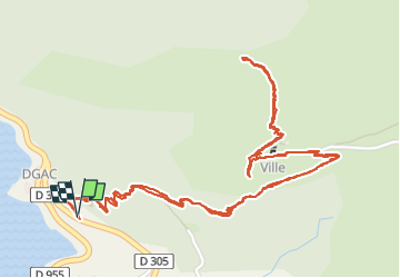
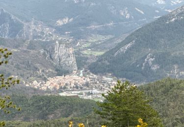
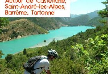
Trail Walking of 4.3 km to be discovered at Provence-Alpes-Côte d'Azur, Alpes-de-Haute-Provence, Demandolx. This trail is proposed by pln30.
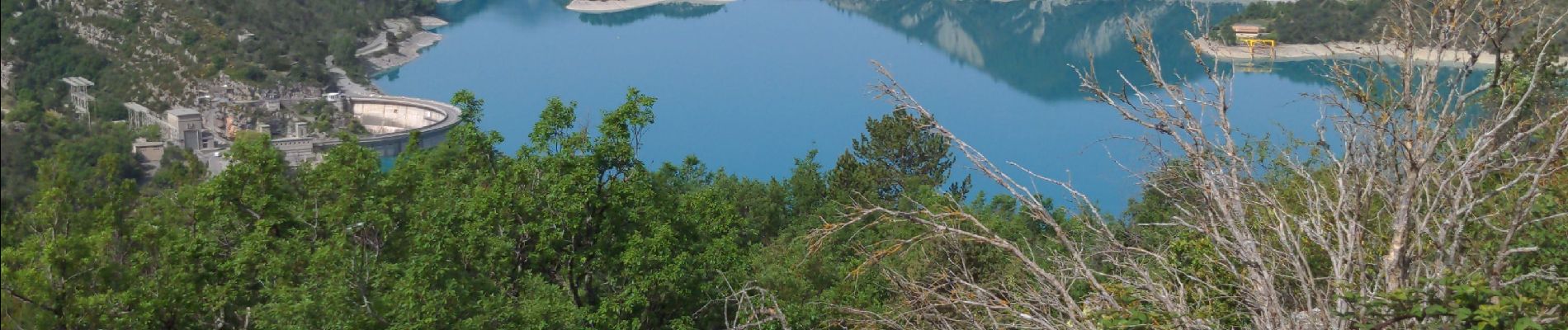
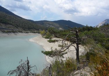
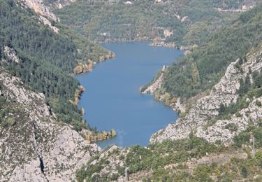
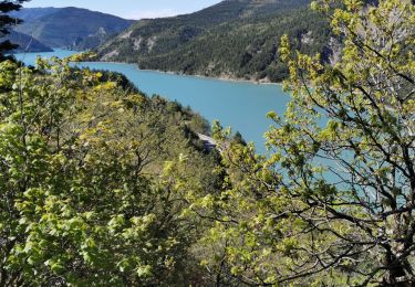
un très joli ancien hameau qui surplombe le lac du castillon, 2 accès possible soit par ce chemin de randonnée, soit plus haut sur la c2, se trouve une piste à niveau avec le hameau. ne pas oublier une fois au hameau d'aller découvrir la chapelle qui se trouve au delà de la crête


On foot

Walking
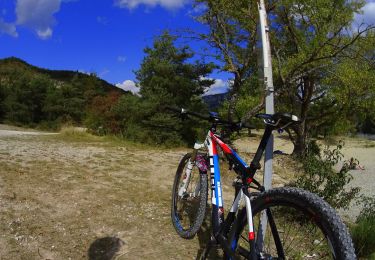
Mountain bike
Walking
Walking
Walking
Motorbike

Other activity
Mountain bike