


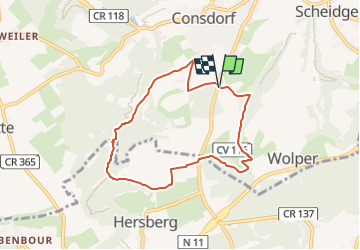

5.8 km | 7.3 km-effort

« L’heure de la fin des découvertes ne sonne jamais. » Colette GUIDE+


FREE GPS app for hiking
 SityTrail
IGN / Geographical institutes
SityTrail World
The world is yours!
Trail Walking of 6.6 km to be discovered at Unknown, Canton Echternach, Consdorf. This trail is proposed by Au fil de nos découvertes.
Mais quel endroit magnifique ! 😱😍
A - de 2h de Liège! 😍
🅿️ Départ et Parking:
A proximité de la plaine de jeux
Rue Dielchen
L-6211 Consdorf (Grand-Duché-du-Luxembourg)
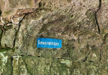
▶️ Suivre la balise "C3"
🥾 Prévoir de bonnes chaussures de marche.
🌲🌳
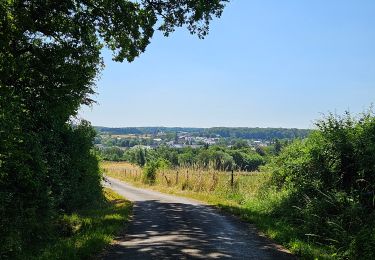
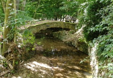
Vous descendrez vers la vallée de Dielchen, longerez un ruisseau. Vous aurez une agréable vue sur Wolper.
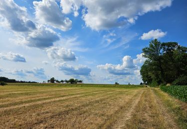
Vous traverserez une forêt parsemée de petits marécages.
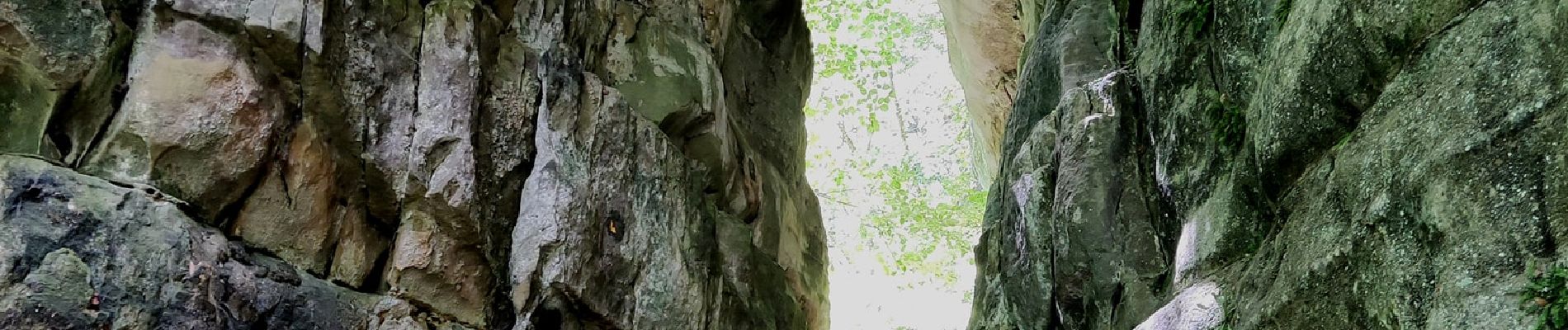
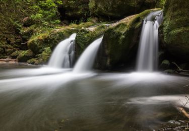
Vous longerez le ruisseau Steebach et vous verrez de magnifiques formations rocheuses pour enfin arriver au Kuelscheier, une grotte étroite et spectaculaire de 100m de long! 😍
⚠️ Les chemins peuvent être très glissants !!
Possibilités de pique-niquer. 🥪🍴
Chiens autorisés en laisse. 🐩🐶🐕
Convient pour les enfants (plaine de jeux au départ). 👱👱♂️
Ne convient pas pour les poussettes et personnes à mobilité réduite. 👨🦽👩🦽👶
N'hésitez pas à aller faire un tour sur notre site internet et nos réseaux :
www.aufildenosdecouvertes.com
www.facebook.com/aufildenosdecouvertes
https://www.instagram.com/au_fil_de_nos_decouvertes


Walking
Walking
Walking

Walking
Walking

Walking

Other activity
Walking
On foot
Magnifique ! Merci