


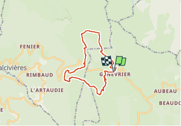


9.5 km | 13.3 km-effort


User


FREE GPS app for hiking
 SityTrail
IGN / Geographical institutes
SityTrail World
The world is yours!
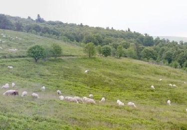
Trail Walking of 13.2 km to be discovered at Auvergne-Rhône-Alpes, Puy-de-Dôme, Saint-Anthème. This trail is proposed by fab0202.
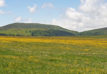
belle rando entre montagne forêt et jasseries. Belle ballade fleurie.

Walking

Walking

On foot
On foot

Equestrian
Walking

Mountain bike
Walking
Walking