


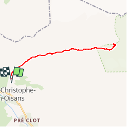

13.8 km | 24 km-effort


User


FREE GPS app for hiking
 SityTrail
IGN / Geographical institutes
SityTrail World
The world is yours!
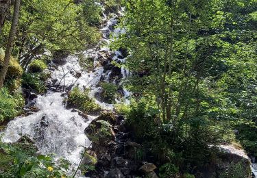
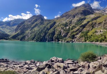
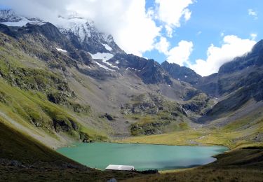
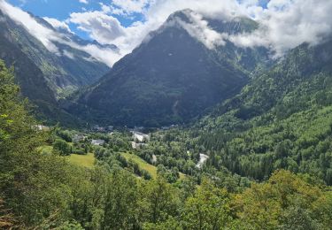
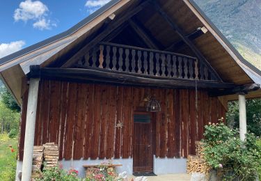
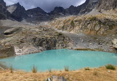
Trail Walking of 14.8 km to be discovered at Auvergne-Rhône-Alpes, Isère, Saint-Christophe-en-Oisans. This trail is proposed by GAPIAN43.
Montée au refuge de la Selle depuis St Christrophe
Walking
Walking
Walking

Walking

Walking

Walking
Walking
Walking
Walking