


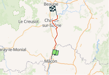

148 km | 165 km-effort


User


FREE GPS app for hiking
 SityTrail
IGN / Geographical institutes
SityTrail World
The world is yours!
Trail Bicycle tourism of 82 km to be discovered at Bourgogne-Franche-Comté, Saône-et-Loire, Sancé. This trail is proposed by Bernadette Noirant.
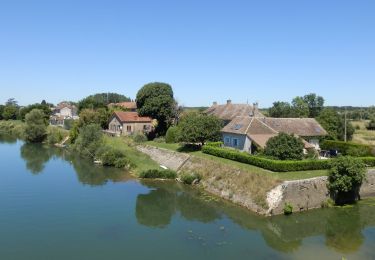
roulant le long de la voie bleue
Walking


sport
Walking
Walking

Walking

Walking
Walking
Mountain bike
Walking