


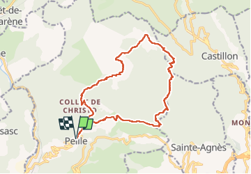


10.3 km | 16.7 km-effort

User


FREE GPS app for hiking
 SityTrail
IGN / Geographical institutes
SityTrail World
The world is yours!
Trail Walking of 19.9 km to be discovered at Provence-Alpes-Côte d'Azur, Maritime Alps, Peille. This trail is proposed by ETMU5496.
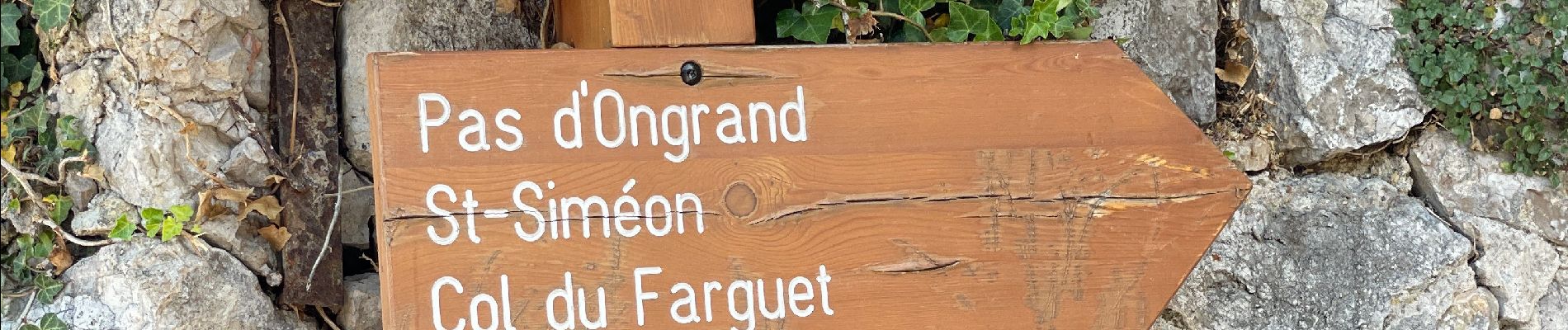
Randonnée assez exigeante et à éviter par forte chaleur
La 1ere ascension (cime du Baudon) est ombragée.
La seconde (Mont Ours) est exposée
La Troisième (retour Peille) l'est pas mal aussi
IBP = 136


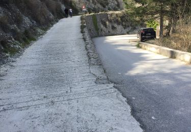
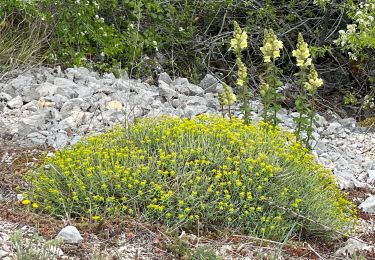
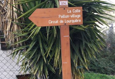
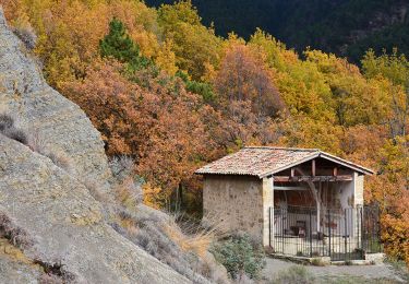
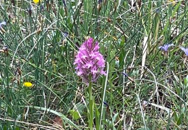
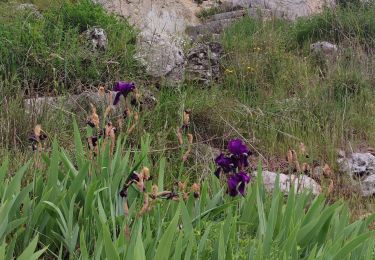
28 photos in total. Please click on a photo to see them all in the gallery.

Walking
On foot

Walking
Walking
Walking
Walking
Walking
Walking
Walking