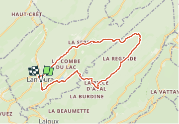
16.3 km | 31 km-effort
Autour Lamoura
swp648
User
Length
17.1 km
Max alt
1492 m
Uphill gradient
580 m
Km-Effort
25 km
Min alt
1148 m
Downhill gradient
581 m
Boucle
Yes
Creation date :
2022-06-23 07:44:32.78
Updated on :
2022-06-23 14:21:37.673
4h37
Difficulty : Medium
FREE GPS app for hiking
About
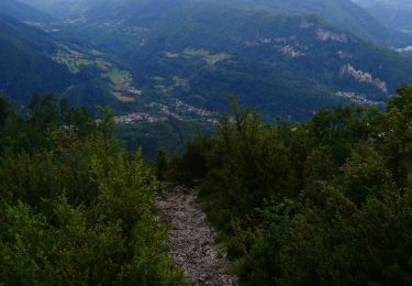
Trail Walking of 17.1 km to be discovered at Bourgogne-Franche-Comté, Jura, Lamoura. This trail is proposed by swp648.
Description
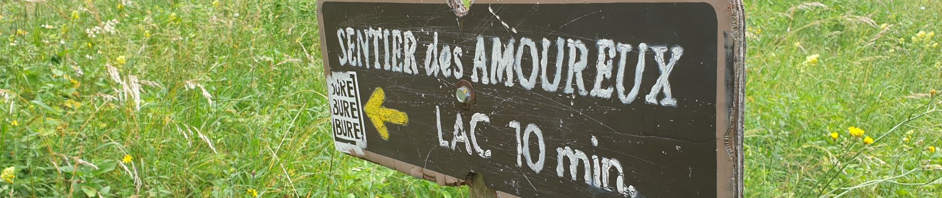
Très belle randonnée, vallonnée, vue sur le lac de Lamoura à l'arrivée.
Positioning
Country:
France
Region :
Bourgogne-Franche-Comté
Department/Province :
Jura
Municipality :
Lamoura
Location:
Unknown
Start:(Dec)
Start:(UTM)
728168 ; 5142091 (31T) N.
Comments
Trails nearby
circuit des chamois Septmoncel
Walking
Difficult
(1)
Septmoncel les Molunes,
Bourgogne-Franche-Comté,
Jura,
France
5h 51min
Yes
Tresberruy - Lamoura
Walking
Difficult
(1)
Lamoura,
Bourgogne-Franche-Comté,
Jura,
France
14.5 km | 20 km-effort
4h 0min
Yes
2023-08-18_15h23m20_lamoura
Cycle
Very easy
(1)
Lajoux,
Bourgogne-Franche-Comté,
Jura,
France
21 km | 26 km-effort
Unknown
Yes
UTTJ 2015-2
Running
Very difficult
(1)
Mijoux,
Auvergne-Rhône-Alpes,
Ain,
France
57 km | 92 km-effort
18h 13min
No
Balade à Col de la Faucille, Gex
Walking
Very difficult
Gex,
Auvergne-Rhône-Alpes,
Ain,
France
86 km | 135 km-effort
9h 23min
No
LES ROUSSES - COL DE LA FAUCILLE
Bicycle tourism
Very difficult
Mijoux,
Auvergne-Rhône-Alpes,
Ain,
France
54 km | 68 km-effort
4h 57min
No
Le Crêt Pela
Walking
Medium
Lamoura,
Bourgogne-Franche-Comté,
Jura,
France
21 km | 28 km-effort
5h 37min
Yes
Lamoura 14km D+ 493 20210228
Snowshoes
Very easy
Lamoura,
Bourgogne-Franche-Comté,
Jura,
France
14 km | 21 km-effort
3h 36min
Yes
sentier des Diots
Walking
Easy
Septmoncel les Molunes,
Bourgogne-Franche-Comté,
Jura,
France
10.5 km | 14.7 km-effort
2h 34min
Yes