


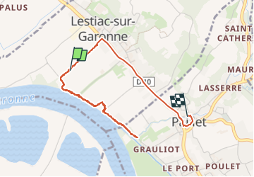

17.9 km | 19.4 km-effort

User


FREE GPS app for hiking
 SityTrail
IGN / Geographical institutes
SityTrail World
The world is yours!
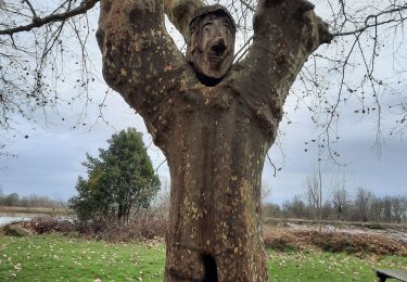
Trail Walking of 4.5 km to be discovered at New Aquitaine, Gironde, Lestiac-sur-Garonne. This trail is proposed by PatrickBEGUIN.


Walking


Walking

Walking
Mountain bike
Walking


Horseback riding