


4.5 km | 4.8 km-effort


User


FREE GPS app for hiking
 SityTrail
IGN / Geographical institutes
SityTrail World
The world is yours!
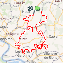
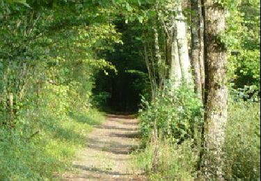
Trail Mountain bike of 32 km to be discovered at New Aquitaine, Gironde, Haux. This trail is proposed by Gus64.
un concentré du top dans le secteur de Langoiran / Haux

Walking

Walking
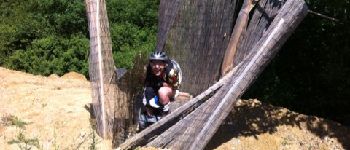
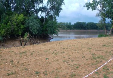
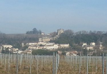
Mountain bike
Walking

Walking
Walking

Other activity