


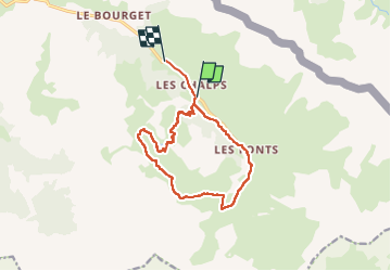

15.2 km | 31 km-effort


User


FREE GPS app for hiking
 SityTrail
IGN / Geographical institutes
SityTrail World
The world is yours!
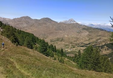
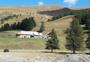
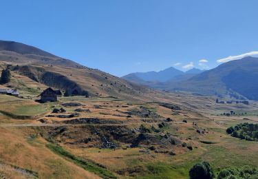
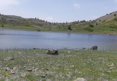
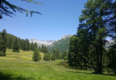
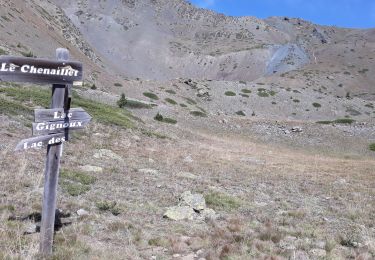
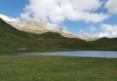
Trail Walking of 13.4 km to be discovered at Provence-Alpes-Côte d'Azur, Hautes-Alpes, Cervières. This trail is proposed by labarone.
agréable
pleins de fleurs
avec guide Anne


Walking

Walking
Walking
Walking
Walking
Walking
Winter toboggan
Walking
Walking