


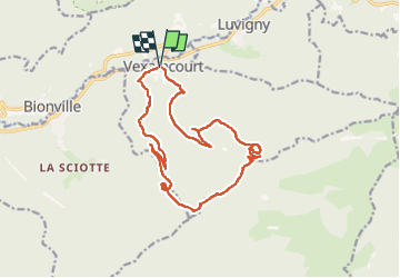


8.7 km | 13.9 km-effort

User


FREE GPS app for hiking
 SityTrail
IGN / Geographical institutes
SityTrail World
The world is yours!
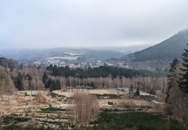
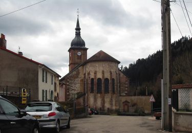
Trail Walking of 16.3 km to be discovered at Grand Est, Vosges, Vexaincourt. This trail is proposed by Bart2015.
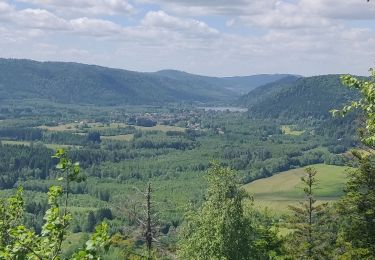
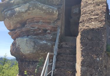
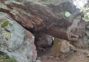
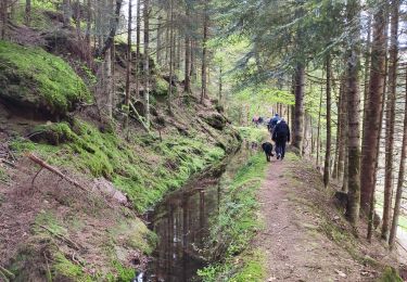
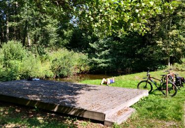
Belle randonnée pour rejoindre le beau lac de la Maix, l'un des derniers lacs naturels de formation glaciaire du massif vosgien, plus confidentiel depuis que les voitures ne peuvent y accéder. A visiter également sa chapelle où les enfants n'oublieront pas de faire sonner la cloche ... Poursuite de la rando pour découvrir quelques pierres à cupules et une roche à colonnes et un dolmen ...
Bonne rando ...


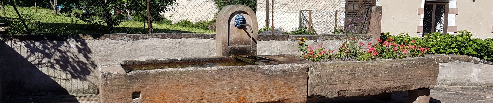
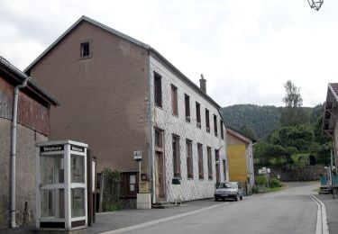
34 photos in total. Please click on a photo to see them all in the gallery.
On foot
Walking

Walking
Walking
Walking
Walking
Walking
On foot
Mountain bike