


5.3 km | 7.3 km-effort

User


FREE GPS app for hiking
 SityTrail
IGN / Geographical institutes
SityTrail World
The world is yours!
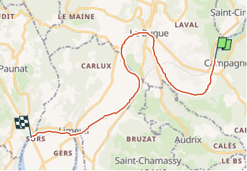
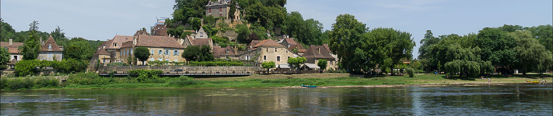
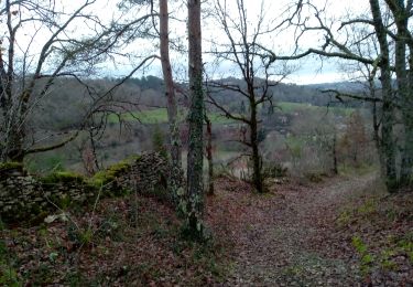
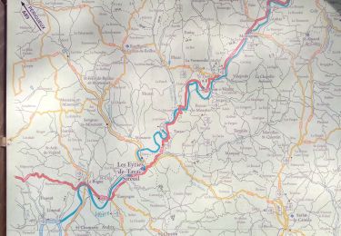
Trail Canoe - kayak of 13.6 km to be discovered at New Aquitaine, Dordogne, Le Bugue. This trail is proposed by ilur56.
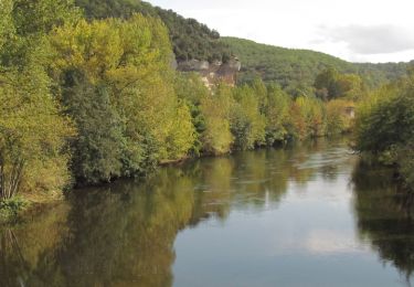
Descente en canoë de La Vézère et confluence avec la Dordogne


On foot
Walking
Walking
Walking

Walking
Walking
Walking

Walking

Walking