


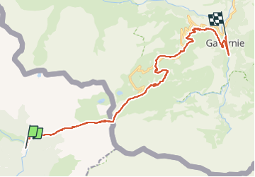


4 km | 5.7 km-effort

User


FREE GPS app for hiking
 SityTrail
IGN / Geographical institutes
SityTrail World
The world is yours!
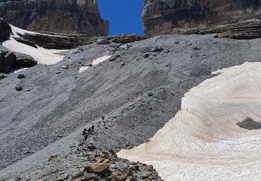
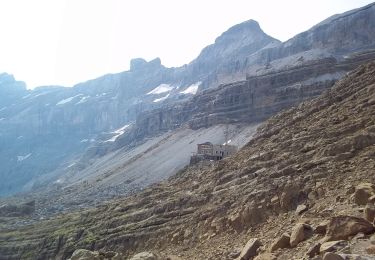
Trail Horseback riding of 17.4 km to be discovered at Aragon, Huesca, Torla-Ordesa. This trail is proposed by alfreson.


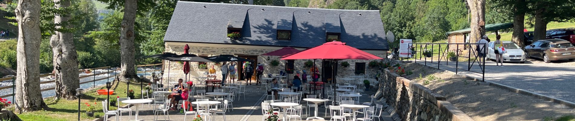
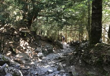
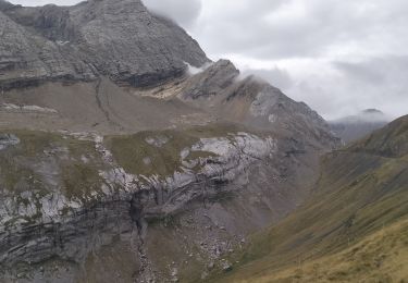
60 photos in total. Please click on a photo to see them all in the gallery.

Walking

Walking

Walking

Walking

Walking
Walking
Walking
Walking
On foot