


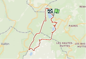

22 km | 31 km-effort

User GUIDE


FREE GPS app for hiking
 SityTrail
IGN / Geographical institutes
SityTrail World
The world is yours!
Trail Walking of 16.2 km to be discovered at Grand Est, Haut-Rhin, Orbey. This trail is proposed by holtzv.
Marche des trois lacs puis retour par le gazon du Faing :
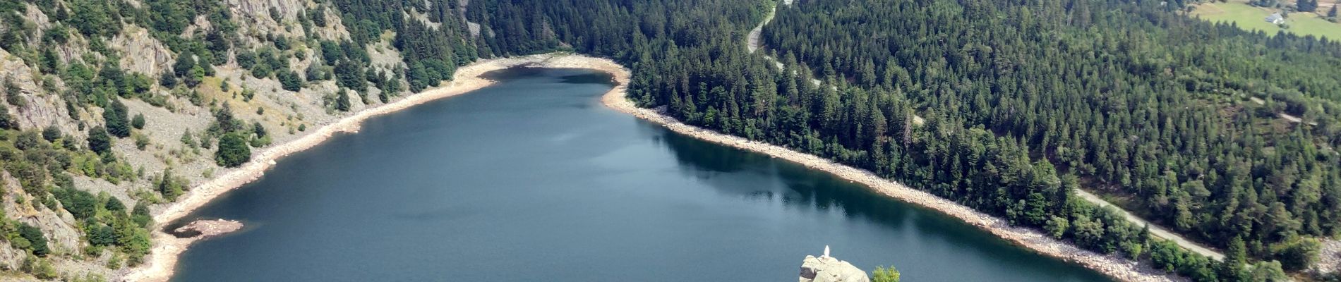
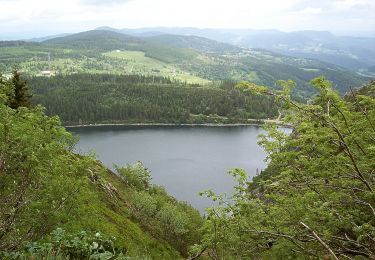
- Lac Blanc
- Lac Noir
- Lac du Forlet
Une petite extension est possible pour faire le lac vert en plus.


Horseback riding

Horseback riding

Other activity

Walking

Walking

Walking

Mountain bike

Horseback riding
On foot