


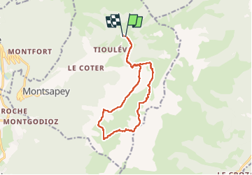

13.1 km | 28 km-effort


User


FREE GPS app for hiking
 SityTrail
IGN / Geographical institutes
SityTrail World
The world is yours!
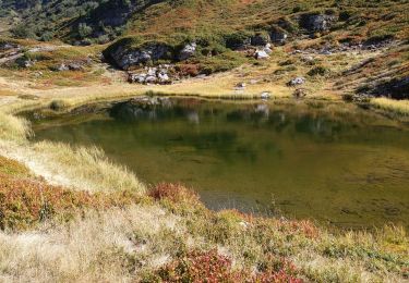
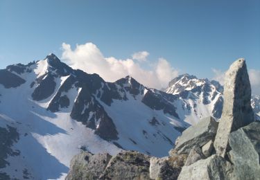
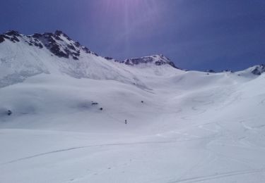
Trail Walking of 14.2 km to be discovered at Auvergne-Rhône-Alpes, Savoy, Montsapey. This trail is proposed by jibebouvier.
avec le lio !
par le mont pwepwe ;-)
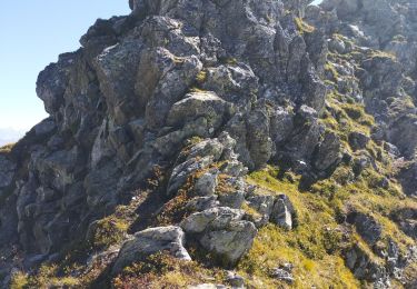
attention, passage dans la descente juste après le sommet difficile, surtout si pluie avant...
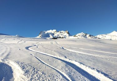
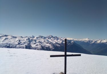
Touring skiing
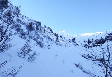
Touring skiing
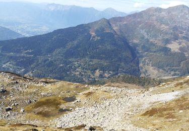
Walking
Walking
Walking
Walking
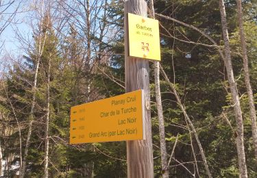
Walking
Walking
Touring skiing