


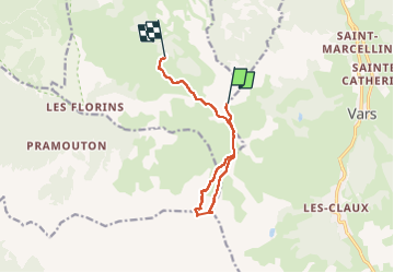

7.7 km | 14.9 km-effort

User


FREE GPS app for hiking
 SityTrail
IGN / Geographical institutes
SityTrail World
The world is yours!
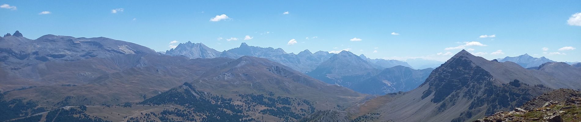
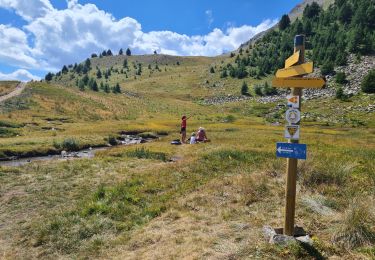
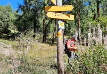
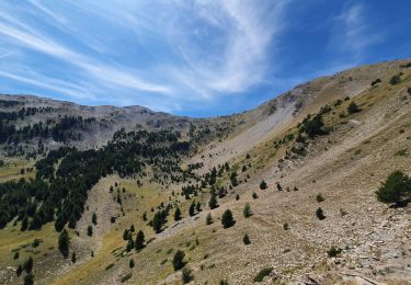
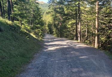
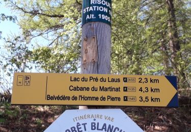
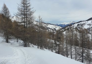
Trail Walking of 9.7 km to be discovered at Provence-Alpes-Côte d'Azur, Hautes-Alpes, Vars. This trail is proposed by fredetpascale.
montée : télésiège de la Plate de la Nonne
descente : télésiège du Pré du Bois


Walking

Other activity
Mountain bike
Walking
Walking
Walking
Walking
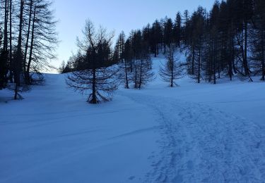
Snowshoes
Snowshoes