


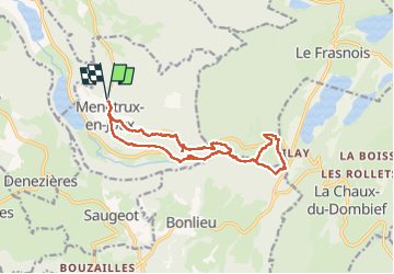


14.5 km | 20 km-effort

User


FREE GPS app for hiking
 SityTrail
IGN / Geographical institutes
SityTrail World
The world is yours!
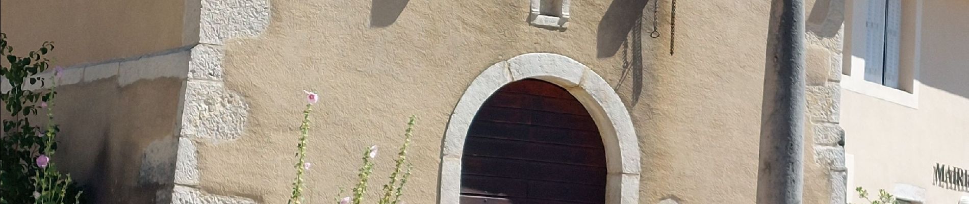
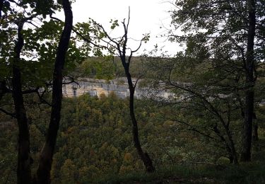
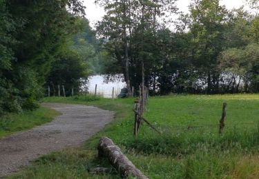
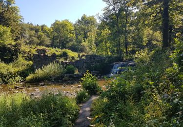
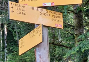
Trail Walking of 15 km to be discovered at Bourgogne-Franche-Comté, Jura, Menétrux-en-Joux. This trail is proposed by walrou63.
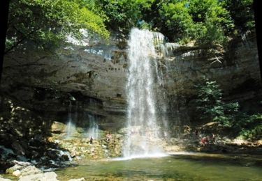
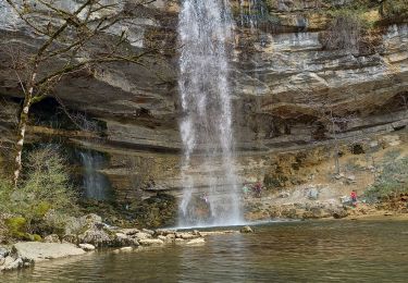
Suite à cet été très sec, très faible débit des cascades. Dommage, mais belle randonnée en partant de Ménétrux-en-Joux.


32 photos in total. Please click on a photo to see them all in the gallery.

Walking

Walking
Mountain bike

Walking
Walking
Walking
Walking
Walking
Walking