


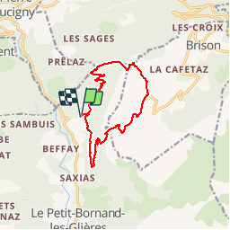

9.7 km | 15.3 km-effort

User GUIDE


FREE GPS app for hiking
 SityTrail
IGN / Geographical institutes
SityTrail World
The world is yours!
Trail Walking of 12.6 km to be discovered at Auvergne-Rhône-Alpes, Upper Savoy, Glières-Val-de-Borne. This trail is proposed by Kargil.
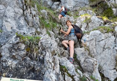
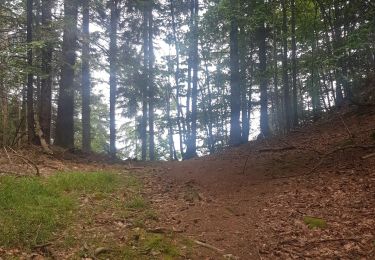
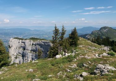
Une montée un peu sauvage car peu empruntée et une descente à réserver aux montagnards avertis car pentue, exposée et technique sur chemin de terre glissant au-dessus de petites barres rocheuses.
Vous ne rencontrerez pas grand monde sauf à la pointe d'Andey bien entendu.


Walking
Walking
Touring skiing
Touring skiing
Walking
Walking
Walking
Walking
Walking