


9.7 km | 15.3 km-effort
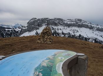
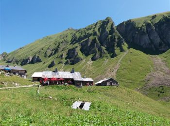
Glières-Val-de-Borne: Discover the best trails: 102 hiking trails and 3 bike and mountain-bike routes. All these trails, routes and outdoor activities are available in our SityTrail applications for smartphones and tablets.
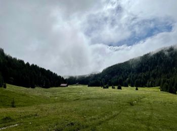
Walking


Walking

Walking
Walking
Walking
Walking
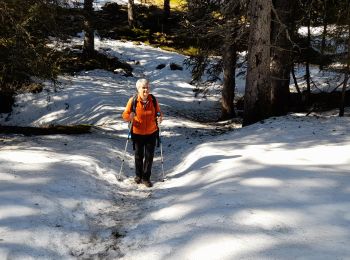
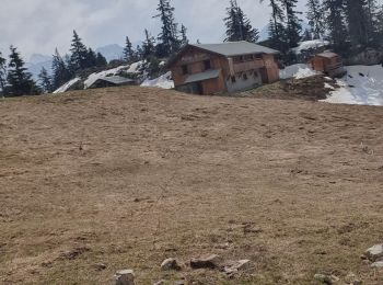
Snowshoes
Touring skiing
Touring skiing
Orienteering
Walking
Walking
Walking
Walking
Walking
Walking
Walking
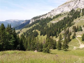
• Pas de difficulté en majorité sur la piste 4 x 4 d'accès au chalet de Mayse. La crête pour de La Palange est plus sau...

Walking
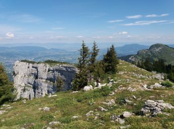
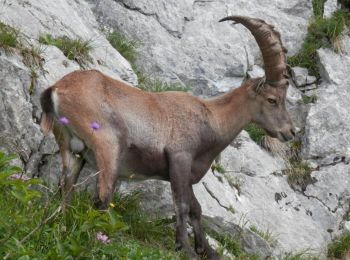
• belle randonnée variée et super points de vues
Walking
• belle randonnée variée et super points de vues
Walking
20 trails displayed on 132
FREE GPS app for hiking
 SityTrail
IGN / Geographical institutes
SityTrail World
The world is yours!