


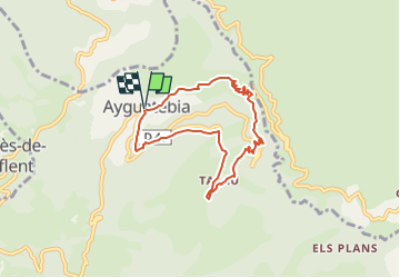

15.8 km | 25 km-effort


User


FREE GPS app for hiking
 SityTrail
IGN / Geographical institutes
SityTrail World
The world is yours!
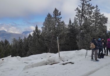
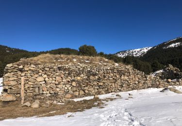
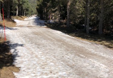
Trail Walking of 7.2 km to be discovered at Occitania, Pyrénées-Orientales, Ayguatébia-Talau. This trail is proposed by SoleilMoussanais.
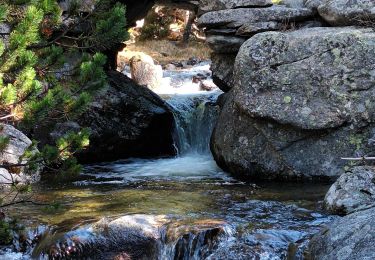
Belle rando sauvage dans la vallée des Garrotxes.
Walking
Snowshoes

Mountain bike
Walking
Walking

Walking
Walking
Walking
Walking