


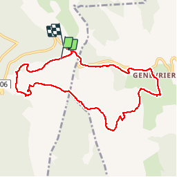


9.5 km | 13.3 km-effort

User


FREE GPS app for hiking
 SityTrail
IGN / Geographical institutes
SityTrail World
The world is yours!
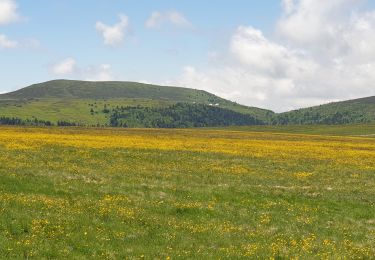
Trail Walking of 10.8 km to be discovered at Auvergne-Rhône-Alpes, Puy-de-Dôme, Valcivières. This trail is proposed by Bushiben.
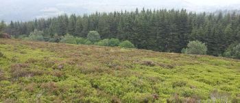
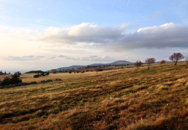
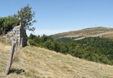
Rando très sympa. Paysages de landes très agréables.
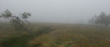
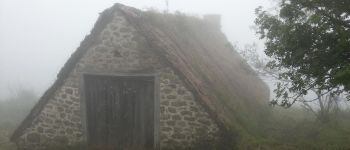
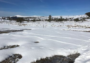
Je l'ai fait par temps pluvieux, venteux et brumeux, le dépaysement est d'autant plus grand. Faites attention cependant à ne pas vous égarer si le brouillard devient trop épais.
Beaucoup de myrtilles et quelques champignons trouvés en chemin ont accompagnés, très agréablement, le repas de midi composé du saucisson et du fromage achetés à la jassière du coq noir.
De très bons souvenirs.


Walking

Walking
On foot
On foot
On foot
On foot

Equestrian
Walking
Walking