


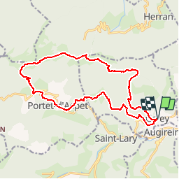

46 km | 67 km-effort


User


FREE GPS app for hiking
 SityTrail
IGN / Geographical institutes
SityTrail World
The world is yours!
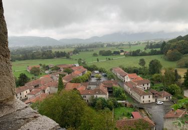
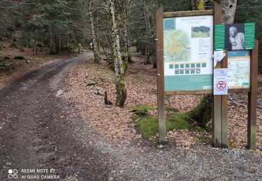
Trail Walking of 18.5 km to be discovered at Occitania, Ariège, Galey. This trail is proposed by Yonl.
Une boucle sympathique à faire depuis Galey.
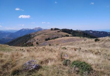
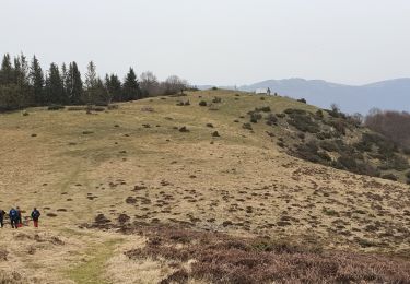
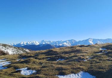
Panorama exceptionnel depuis les crêtes (360°).
On croisera sur les crêtes les chevaux magnifiques que l'on peut approcher et carresser.
Si le Patou se met en travers de votre chemin et vous "demande" de ne pas passer, n'insistez pas et faite un détour...
Une variante consiste à passer par le Cornudère (très sympha) puis le Paloumère, mais c'est encore plus long...
Possibilité de prévoir une voiture sur le Col pour s'éviter le retour depuis le col.
Walking
Walking
Walking
Walking
Walking

Walking

Mountain bike

Walking
Walking