


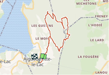

9.6 km | 17.6 km-effort

User


FREE GPS app for hiking
 SityTrail
IGN / Geographical institutes
SityTrail World
The world is yours!
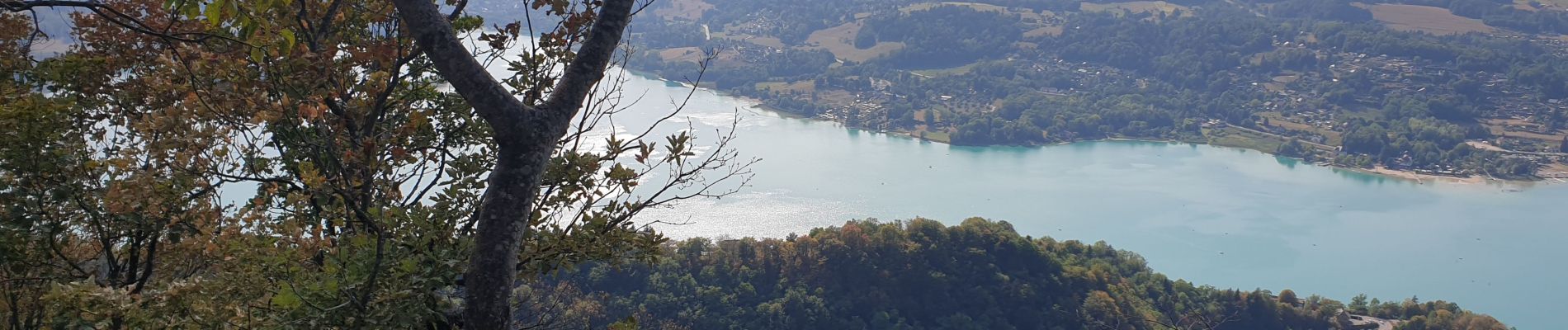
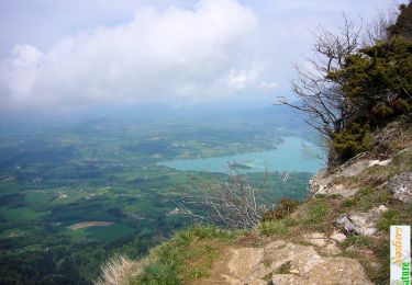
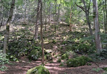
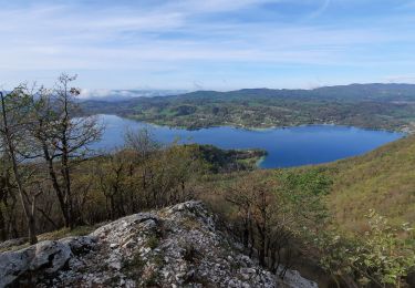
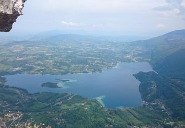
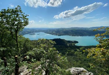
Trail Walking of 9.8 km to be discovered at Auvergne-Rhône-Alpes, Savoy, Aiguebelette-le-Lac. This trail is proposed by francislassauce.
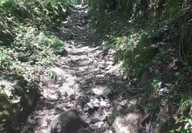
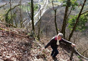
par la montée difficile, à droite au parking des allemands.
sinon prendre a gauche et suivre la voie romaine, c'est plus facile.


Walking

Walking
Walking
Walking
Walking
Walking
Walking
Walking
Walking