


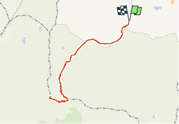

12.6 km | 20 km-effort


User GUIDE


FREE GPS app for hiking
 SityTrail
IGN / Geographical institutes
SityTrail World
The world is yours!
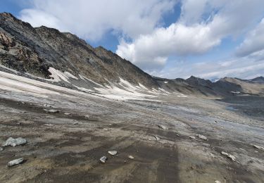
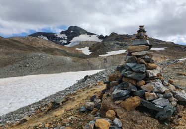
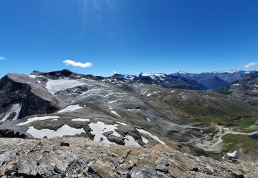
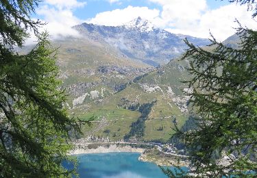
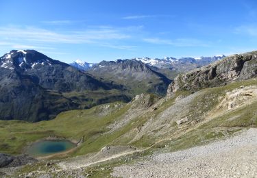
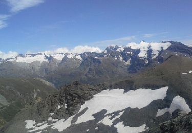
Trail Walking of 18.6 km to be discovered at Auvergne-Rhône-Alpes, Savoy, Val-d'Isère. This trail is proposed by amiral13.
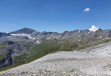
randonnée effectuée le 16 aout 2022.
attention ce parcours nécessite l'utilisation de crampons, ainsi qu'un bon sens de l'itinéraire.


Walking
Walking
Walking
Walking
Walking
Walking
Walking
Walking
Walking