


4.6 km | 6.2 km-effort


User


FREE GPS app for hiking
 SityTrail
IGN / Geographical institutes
SityTrail World
The world is yours!
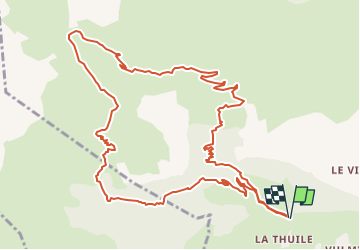
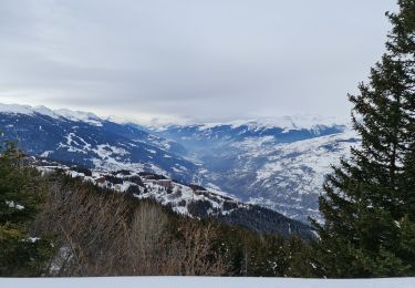
Trail Walking of 14.1 km to be discovered at Auvergne-Rhône-Alpes, Savoy, Bourg-Saint-Maurice. This trail is proposed by Maryma.
Attention, en démarrant la rando, une mise en garde sur le fait que nous entrons dans un champ de tir...
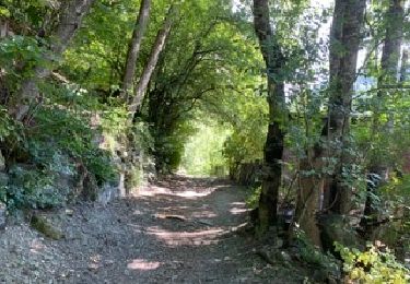
Rando aux paysages très variés. Montée dans les bois très rafraîchissante! Belle vue sur le fort de la Platte. Un détour en option car nous n'en sommes pas loin. Restauration sur le parking en été.
Walking

Walking
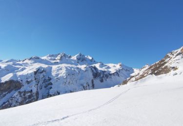
Touring skiing
Touring skiing
Touring skiing
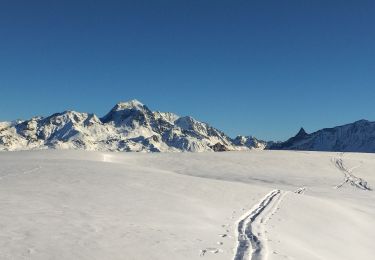
Touring skiing
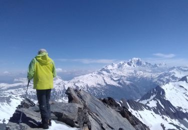
Touring skiing
Touring skiing
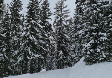
Snowshoes