


rdpr g3 hunsruck 220816

stempfel52
User GUIDE
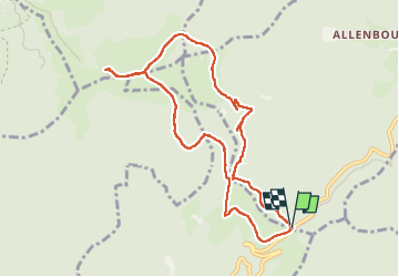

Length
9.3 km

Max alt
1124 m

Uphill gradient
393 m
Km-Effort
14.5 km

Min alt
742 m

Downhill gradient
396 m
Boucle
Yes
Creation date :
2022-08-16 08:00:39.876
Updated on :
2022-10-19 13:50:54.794
4h30
Difficulty : Difficult

FREE GPS app for hiking
 SityTrail
IGN / Geographical institutes
SityTrail Plus
The world is yours!
About
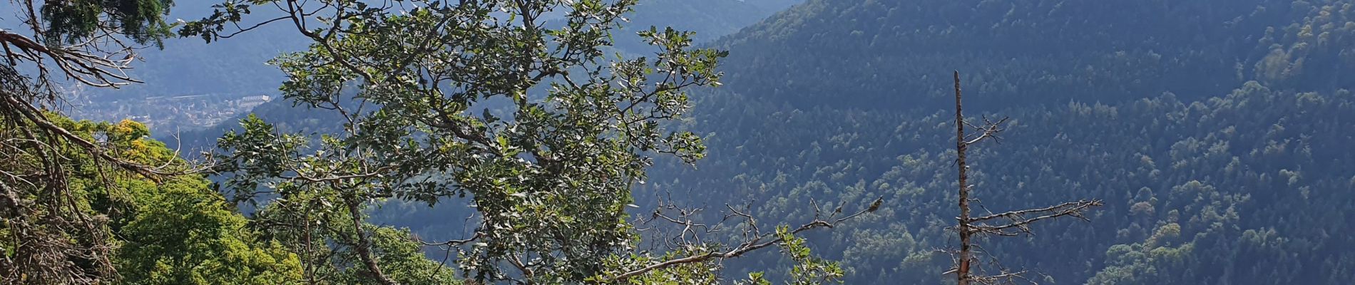
Trail Walking of 9.3 km to be discovered at Grand Est, Haut-Rhin, Bitschwiller-lès-Thann. This trail is proposed by stempfel52.
Photos

Positioning
Country:
France
Region :
Grand Est
Department/Province :
Haut-Rhin
Municipality :
Bitschwiller-lès-Thann
Location:
Unknown
Start:(Dec)
Start:(UTM)
353449 ; 5296665 (32T) N.
Comments