


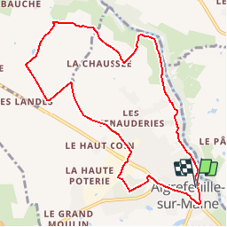

9.4 km | 10.4 km-effort


User


FREE GPS app for hiking
 SityTrail
IGN / Geographical institutes
SityTrail World
The world is yours!
Trail Walking of 10.1 km to be discovered at Pays de la Loire, Loire-Atlantique, Aigrefeuille-sur-Maine. This trail is proposed by PatrickMatuszewski.
On foot

On foot
On foot

Walking

On foot

Walking


sport
Walking
Walking
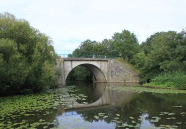
Très beau sentier le long de la Maine. Le retour par les champs et la ville est plus monotone. Suivre le circuit jaune très bien balisé "entre bourg et maine".