


7.7 km | 28 km-effort


User


FREE GPS app for hiking
 SityTrail
IGN / Geographical institutes
SityTrail World
The world is yours!
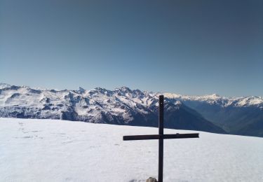
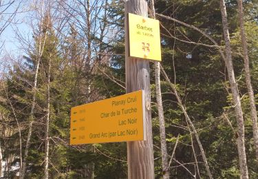
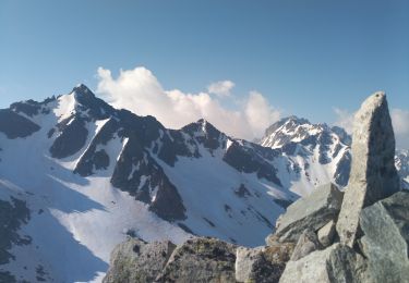
Trail Walking of 13.7 km to be discovered at Auvergne-Rhône-Alpes, Savoy, Montsapey. This trail is proposed by loicthev.
rando liste AMM
Grand Arc
06/09/2022
Alexandre

Walking
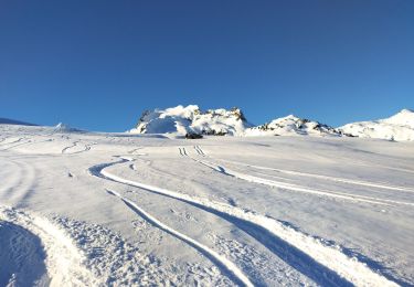
Touring skiing
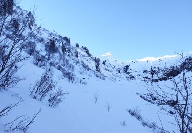
Touring skiing
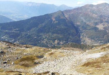
Walking
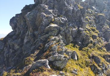
Walking
Walking
Walking
Walking
Walking