


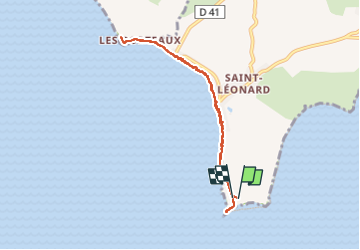

10.8 km | 11.4 km-effort


User


FREE GPS app for hiking
 SityTrail
IGN / Geographical institutes
SityTrail World
The world is yours!
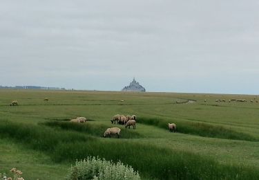
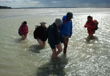
Trail Walking of 7 km to be discovered at Normandy, Manche, Vains. This trail is proposed by bouscaillou.


Walking
Walking
Walking

Walking
Walking
Walking
Walking
Walking

Walking
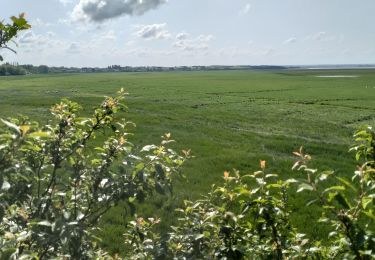
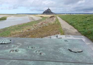
Seul le point de vue de la pointe du groin sud vaut la peine.Le reste, peu d'intérêt.