


Gaschney - Stolz Ablass

oscar1
User
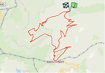

Length
13.7 km

Max alt
998 m

Uphill gradient
527 m
Km-Effort
21 km

Min alt
574 m

Downhill gradient
526 m
Boucle
Yes
Creation date :
2022-09-30 08:20:02.855
Updated on :
2022-10-01 16:04:54.608
4h04
Difficulty : Easy

FREE GPS app for hiking
 SityTrail
IGN / Geographical institutes
SityTrail Plus
The world is yours!
About
Trail Walking of 13.7 km to be discovered at Grand Est, Haut-Rhin, Stosswihr. This trail is proposed by oscar1.
Description
Sans grande difficulté
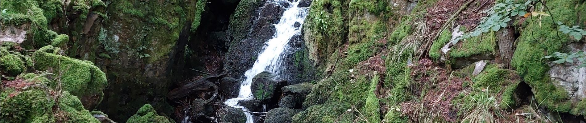
Photos


Positioning
Country:
France
Region :
Grand Est
Department/Province :
Haut-Rhin
Municipality :
Stosswihr
Location:
Unknown
Start:(Dec)
Start:(UTM)
355083 ; 5324130 (32U) N.
Comments