Stosswihr, Haut-Rhin: Best trails, routes and walks

20 comments

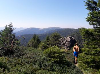
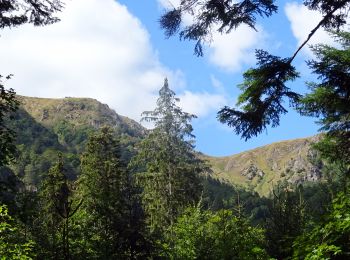
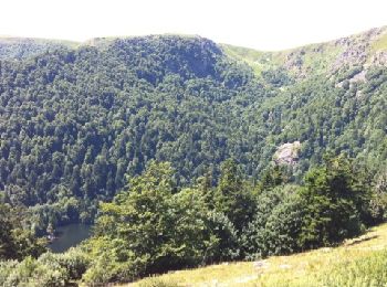
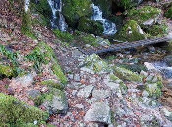
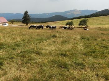
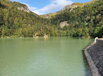
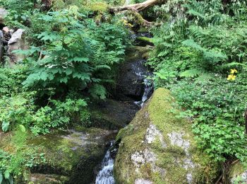
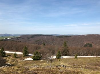
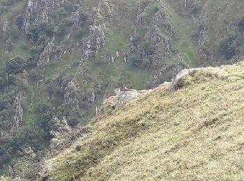
Stosswihr: Discover the best trails: 209 hiking trails, 1 bike and mountain-bike routes and 3 equestrian circuits. All these trails, routes and outdoor activities are available in our SityTrail applications for smartphones and tablets.


The best trails (229)

Trail Walking Stosswihr - Tour du belvedere avec le passage sur les crêtes  - Photo
Walking 8.466
Km

Walking

Very easy
(2)
Stosswihr, Grand Est, Haut-Rhin, France
8.5 km | 0 m-effort
2h 28min
0 m
0 m
Yes
ocepee

Trail Walking Stosswihr - Le cirque glaciaire du Frankenthal - Sentier des Roches -Gps - Photo
Walking 9.007
Km
GUIDE

Walking

Difficult
(3)
Stosswihr, Grand Est, Haut-Rhin, France
9 km | 16.1 km-effort
4h 10min
530 m
529 m
Yes
Desrumaux

• Détails de la rando sur TraceGPS.com http://www.tracegps.com/fr/parcours/circuit1867.htm

Trail Horseback riding Stosswihr - 2018-08-26 Picnic CVA Cascades Stosswihr - Photo
Horseback riding 19.245
Km
GUIDE

Horseback riding

Easy
Stosswihr, Grand Est, Haut-Rhin, France
19.2 km | 29 km-effort
3min
737 m
737 m
Yes
holtzv

Trail Walking Stosswihr - Lac du Sciessrothried - Photo
Walking 8.515
Km

Walking

Very easy
(2)
Stosswihr, Grand Est, Haut-Rhin, France
8.5 km | 13.7 km-effort
Unknown
390 m
397 m
Yes
GARROUSTE

Trail Walking Stosswihr - Saegmatt Cascade de Stolz Ablass Frankenthal - Photo
Walking 11.32
Km

Walking

Difficult
Stosswihr, Grand Est, Haut-Rhin, France
11.3 km | 18.7 km-effort
4h 15min
555 m
561 m
Yes
oscar1

Trail Walking Stosswihr - les rochers - Photo
Walking 20.647
Km

Walking

Very difficult
(1)
Stosswihr, Grand Est, Haut-Rhin, France
21 km | 34 km-effort
6h 21min
1038 m
1038 m
Yes
Vinciane

Trail Walking Stosswihr - le sentier des roches  - Photo
Walking 15.484
Km

Walking

Difficult
Stosswihr, Grand Est, Haut-Rhin, France
15.5 km | 28 km-effort
6h 16min
949 m
948 m
Yes
Yoann Hervé

Trail Walking Stosswihr - Marche 10km 04-08-22 - Photo
Walking 9.84
Km

Walking

Difficult
Stosswihr, Grand Est, Haut-Rhin, France
9.8 km | 16.1 km-effort
3h 18min
472 m
471 m
Yes
1957

Trail Walking Stosswihr - Stosswihr L'Altenberg Le Sentier des Roches - Photo
Walking 16.464
Km

Walking

Very difficult
Stosswihr, Grand Est, Haut-Rhin, France
16.5 km | 28 km-effort
5h 31min
840 m
839 m
Yes
oscar1

Trail Walking Stosswihr - Gaschney - Frankenthal - Hohneck - Schiessroth - Photo
Walking 9.275
Km

Walking

Medium
Stosswihr, Grand Est, Haut-Rhin, France
9.3 km | 15.6 km-effort
3h 39min
472 m
472 m
Yes
VacheKiri67

Trail Walking Stosswihr - rdpr gaschney - Photo
Walking 11.962
Km
GUIDE

Walking

Difficult
Stosswihr, Grand Est, Haut-Rhin, France
12 km | 19.1 km-effort
4h 52min
532 m
531 m
Yes
stempfel52

Trail Walking Stosswihr - gaschney petit hohnek lac le kastelberg me hohneck - Photo
Walking 15.938
Km

Walking

Difficult
Stosswihr, Grand Est, Haut-Rhin, France
15.9 km | 27 km-effort
5h 34min
848 m
848 m
Yes
BernardThiry

Trail Walking Stosswihr - Chemin des cascades - Photo
Walking 12.235
Km

Walking

Medium
Stosswihr, Grand Est, Haut-Rhin, France
12.2 km | 0 m-effort
4h 11min
0 m
0 m
Yes
Schaff

Trail Walking Stosswihr - journée 2 plus un bout de la journée 3 du 21 avril 2018 - Photo
Walking 35.278
Km

Walking

Difficult
Stosswihr, Grand Est, Haut-Rhin, France
35 km | 51 km-effort
9h 0min
1260 m
1038 m
No
Schaff

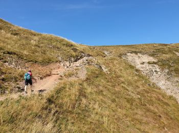
• Jour 2 dure avec plaque de neige, passage dur des flancs de montagne. Dur si on est sujet au vertige.

Trail Walking Stosswihr -  68 Sentier des roches - Photo
Walking 17.251
Km

Walking

Difficult
Stosswihr, Grand Est, Haut-Rhin, France
17.3 km | 28 km-effort
5h 45min
771 m
771 m
Yes
LUTZMarc

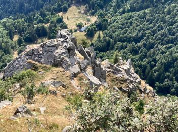
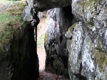
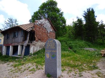
• Début de rando au col de la Schlucht. Sentier le long de parois rocheuses type alpestre . Passage dangereux sécurisés...

Trail Walking Stosswihr -  68 Autour du Fackenthal - Photo
Walking 18.004
Km

Walking

Medium
Stosswihr, Grand Est, Haut-Rhin, France
18 km | 28 km-effort
4h 38min
735 m
746 m
Yes
LUTZMarc

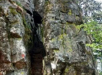
• Sentier des crêtes retour par les échelles . Respecter le sens proposé,le passage dangereux est moins risqué.Les ramb...

Trail Walking Stosswihr - circuit schlucht-hohneck - Photo
Walking 11.698
Km

Walking

Difficult
Stosswihr, Grand Est, Haut-Rhin, France
11.7 km | 19 km-effort
4h 15min
551 m
552 m
No
mitch1915

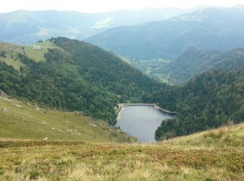
• un peu plus de dix km avec pentes escarpées dans les rochers, magnifique vue du haut des alpages, pour finir en pente...

Trail Walking Stosswihr - Schlucht - Lac Vert, Rochers et. Lacs - Photo
Walking 13.767
Km

Walking

Medium
Stosswihr, Grand Est, Haut-Rhin, France
13.8 km | 21 km-effort
4h 56min
536 m
539 m
Yes
jeanclaude12

• Du Col très fréquenté des Vosges, prendre la crête vers le Haut-Fourneau, le Tanet (1293m) jusque Dreieck. Puis desce...

Trail Walking Stosswihr - De Munster aux 3 Fours (Retour) - Stosswihr - Photo
Walking 20.87
Km

Walking

Difficult
Stosswihr, Grand Est, Haut-Rhin, France
21 km | 29 km-effort
6h 0min
438 m
1265 m
No
tracegps

Trail Walking Stosswihr - Gaschney Schlucht Schiessroth - Photo
Walking 18.181
Km

Walking

Very difficult
Stosswihr, Grand Est, Haut-Rhin, France
18.2 km | 28 km-effort
5h 45min
738 m
736 m
Yes
bob68

• sentier des Roches

20 trails displayed on 229

FREE GPS app for hiking

Logo SityTrail SityTrail

IGN / Geographical institutes

Download SityTrail from the App Store Download SityTrail from Google Play

Logo SityTrail SityTrail World

The world is yours!

Download SityTrail from the App Store Download SityTrail from Google Play Download SityTrail on Huawei AppGallery

Activities

Close
My subscriptions