


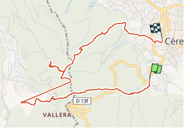

8.3 km | 14.1 km-effort

User


FREE GPS app for hiking
 SityTrail
IGN / Geographical institutes
SityTrail World
The world is yours!
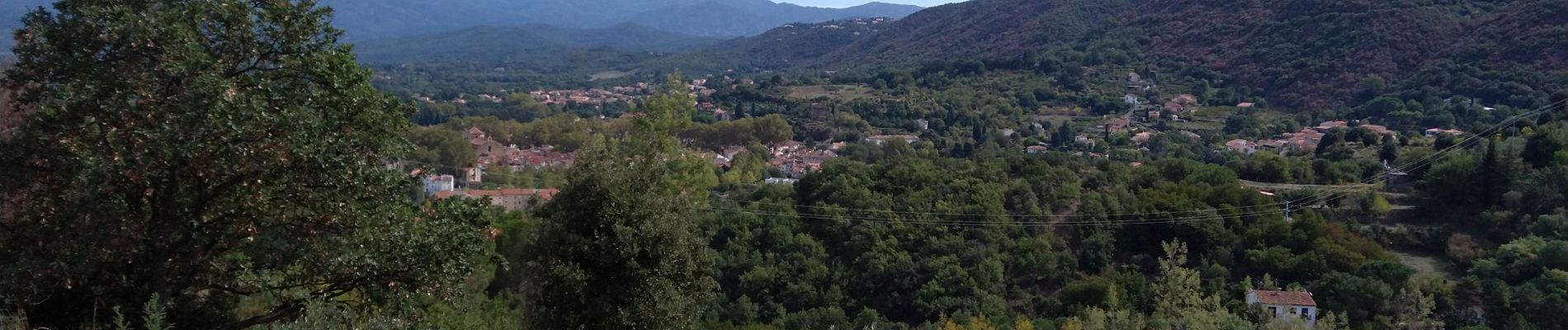
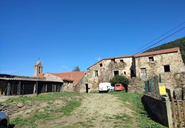
Trail Walking of 6 km to be discovered at Occitania, Pyrénées-Orientales, Céret. This trail is proposed by gogo1965.
randonnęe n*5 en vallespir


Walking

Walking

Walking

Walking
Walking
Walking
Walking
Other activity
Walking