


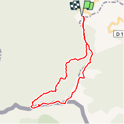

6.5 km | 9.9 km-effort


User


FREE GPS app for hiking
 SityTrail
IGN / Geographical institutes
SityTrail World
The world is yours!
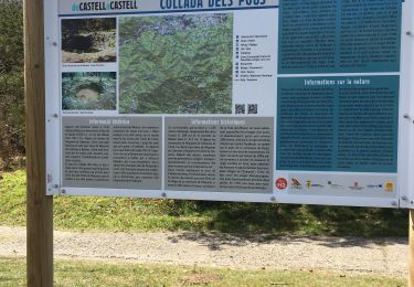
Trail Walking of 8.3 km to be discovered at Occitania, Pyrénées-Orientales, Céret. This trail is proposed by force.
site conseil general 66.
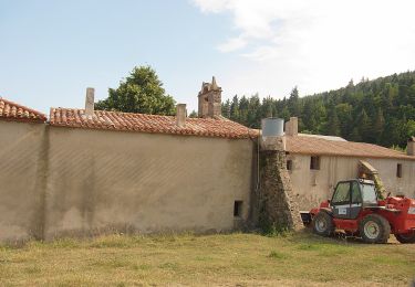
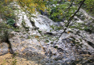
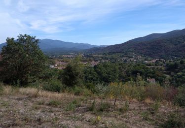
Belle randonnée en grande partie en sous bois


Walking
On foot

Walking

Walking
Other activity
Walking

Walking

Walking
Walking
belle randonnée