


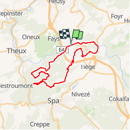


10.8 km | 14.6 km-effort


User


FREE GPS app for hiking
 SityTrail
IGN / Geographical institutes
SityTrail World
The world is yours!
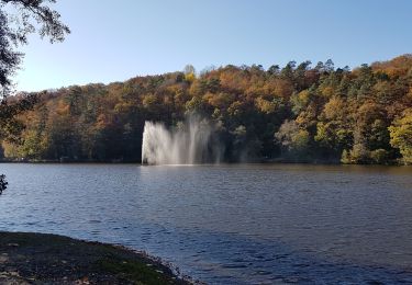
Trail Mountain bike of 24 km to be discovered at Wallonia, Liège, Jalhay. This trail is proposed by francois58.
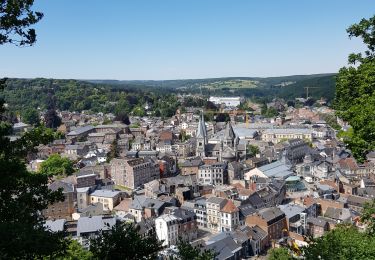
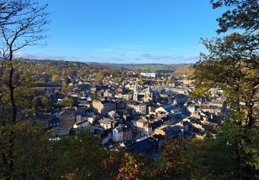
Superbe rando tant par ses paysages que par ses sentes et sentiers - qqs passages un tout petit peu techniques - merci Pierre pour ce beau guidage !

Walking

Walking

Walking
Walking

On foot
Walking
Walking
Walking

Running