


9.5 km | 21 km-effort

User


FREE GPS app for hiking
 SityTrail
IGN / Geographical institutes
SityTrail World
The world is yours!
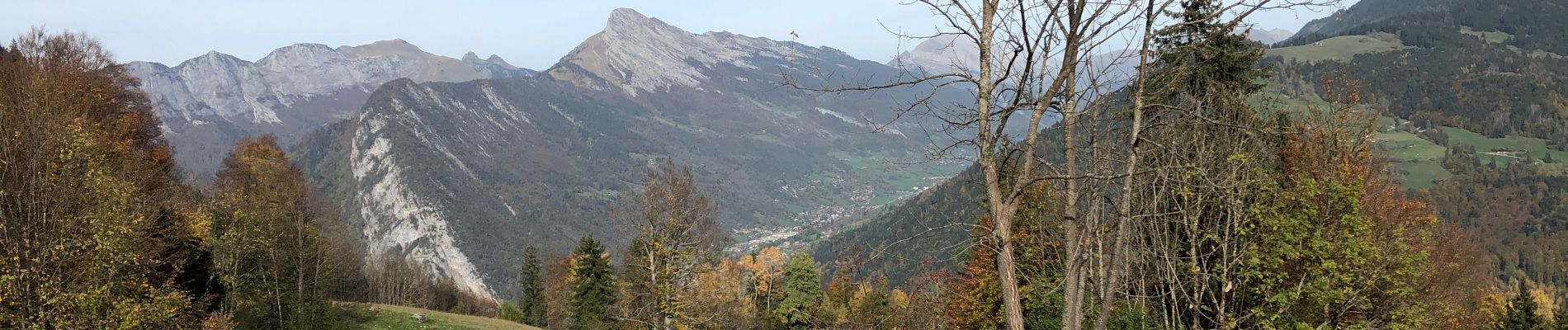
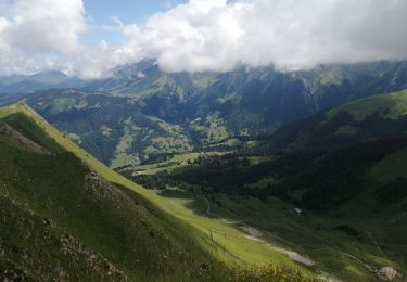
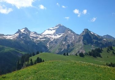
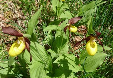
Trail Walking of 10 km to be discovered at Auvergne-Rhône-Alpes, Upper Savoy, Les Clefs. This trail is proposed by Chabard.
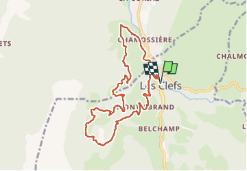
La Pierre Carrée en boucle depuis Les Clefs par Chamossière à l’aller et Montisbrand au retour


Walking

Snowshoes

Walking
Walking
Walking
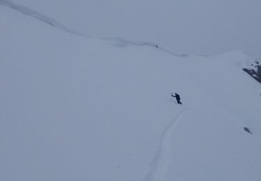
Touring skiing
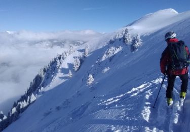
Touring skiing
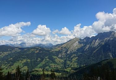
Walking
Walking