


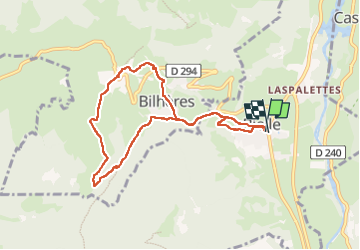

12.2 km | 25 km-effort

User GUIDE


FREE GPS app for hiking
 SityTrail
IGN / Geographical institutes
SityTrail World
The world is yours!
Trail Walking of 8.7 km to be discovered at New Aquitaine, Pyrénées-Atlantiques, Bielle. This trail is proposed by marmotte65.
Pour le G3 Départ de Ger à 8h45 et de super U Idron à 9h
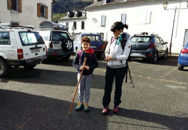
Départ de la rando mairie de Bielle à 10 h .
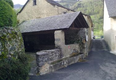
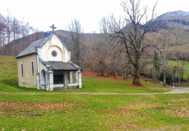
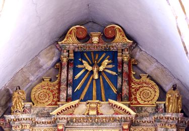
Le PN sera pris a la chapelle de Houndas aux environ de 12h / 12h15. peu de montée apres mangé et surtout aucun endroit suffisamment sympathique pour manger ailleurs
On redémarrera vers 13h30 , pour un retour aux voitures aux environs de 15h30.


Walking

Walking
Walking
On foot

On foot
On foot
On foot
On foot
On foot