


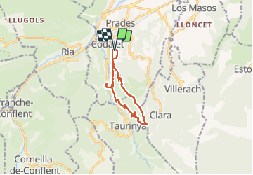

13.5 km | 17.2 km-effort

User


FREE GPS app for hiking
 SityTrail
IGN / Geographical institutes
SityTrail World
The world is yours!
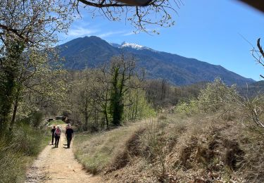
Trail Walking of 10.8 km to be discovered at Occitania, Pyrénées-Orientales, Prades. This trail is proposed by MarcOBRECHT.
Depuis les haut de Codalet suivre sentier jusqu'au col de Clara.
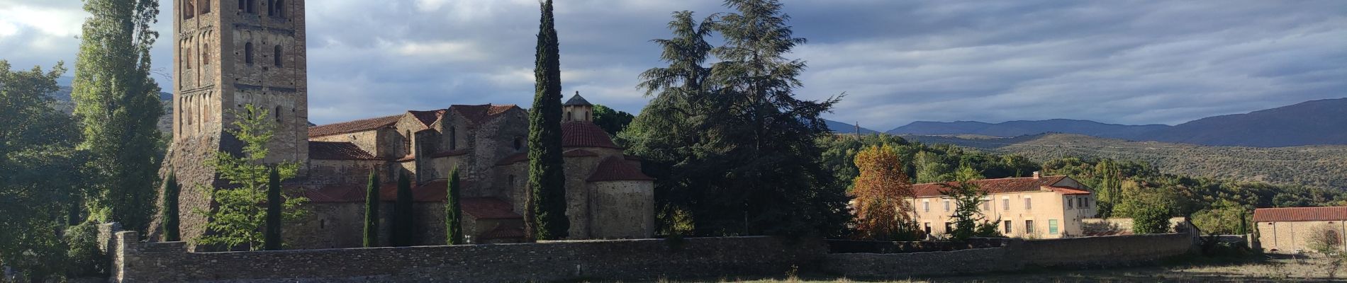
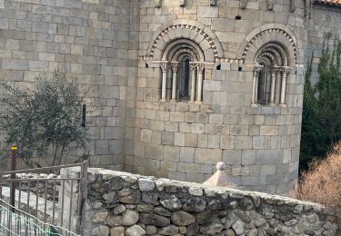
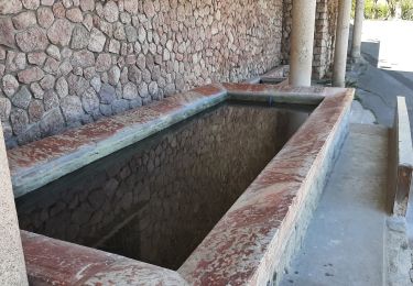
Retour par abbaye puis siphon et canal de bohere


Walking

Motor

Mountain bike

Walking
Walking

Walking

Walking
Walking
Walking