


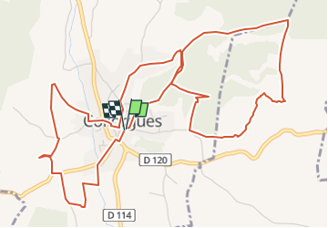

14.1 km | 17.3 km-effort


User


FREE GPS app for hiking
 SityTrail
IGN / Geographical institutes
SityTrail World
The world is yours!
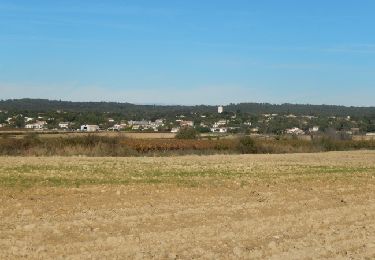
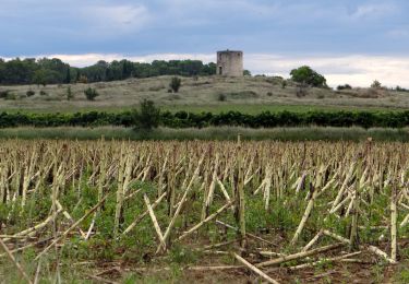
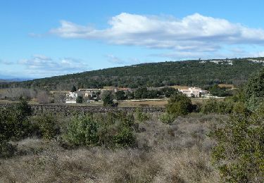
Trail Walking of 7.9 km to be discovered at Occitania, Gard, Collorgues. This trail is proposed by caroline116.
Plusieurs petites boucles pour découvrir le village
Dalles
Moulin huile
Centre historique
Lavoirs
Walking

Walking
Walking
Walking

Mountain bike
Walking
Walking

Mountain bike