


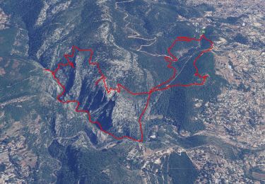
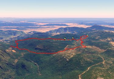
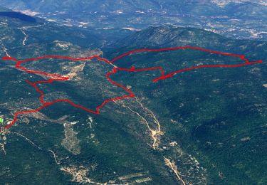
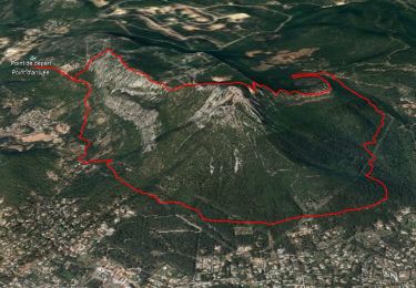
11.8 km | 19.3 km-effort

User


FREE GPS app for hiking
 SityTrail
IGN / Geographical institutes
SityTrail World
The world is yours!
Trail Walking of 14.9 km to be discovered at Provence-Alpes-Côte d'Azur, Var, Le Revest-les-Eaux. This trail is proposed by cdanielrando.
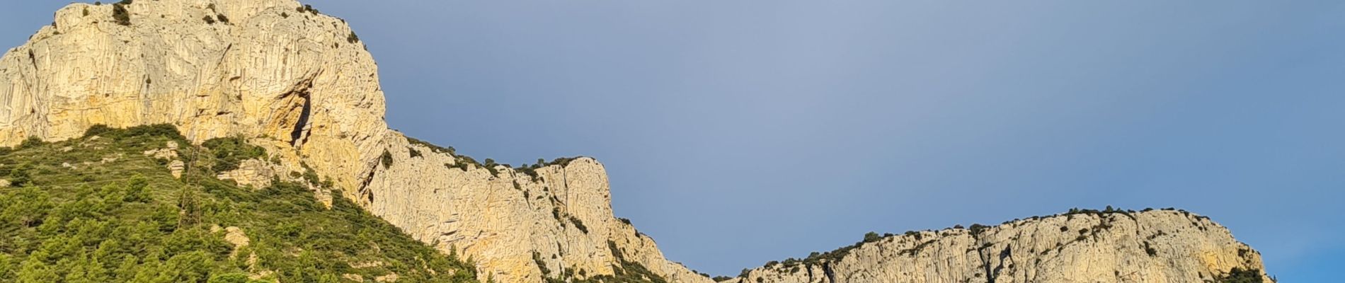
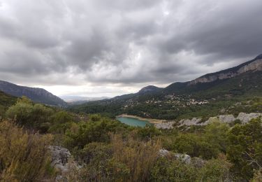
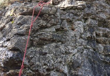
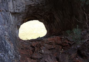
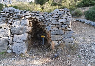
Superbe circuit réservé aux randonneurs aguerris qui vous fera voir , la citerne des carretiers, l'aven du sarcophage, la pyramide de Cassini, le ragas source qui alimente le barrage du Revest. Il faut noter que la descente du ravin du cierge est assez technique sinon le circuit est relativement facile. balisage Gr, bleu et jaune. Du sommet du grand Cap, vue à 360 ° de la mer aux Alpes.


Walking
Walking
Walking
Walking
Walking
Walking
Walking

Walking
Walking