


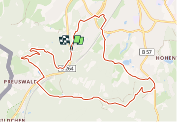

9.6 km | 12.1 km-effort


User GUIDE


FREE GPS app for hiking
 SityTrail
IGN / Geographical institutes
SityTrail World
The world is yours!
Trail Walking of 11.4 km to be discovered at North Rhine-Westphalia, Städteregion Aachen, Aachen. This trail is proposed by mumu.larandonneuse.
ℹ www.aachen.de/wandern
📌🅿️ Lütticher Strabe 340
➡️ Points-noeuds 16 14 65 64 63 62 61 60 51 48 45 44 55 15 16.


Walking

Walking


Walking

Walking
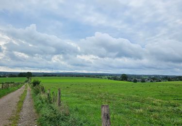
Walking
Walking

Walking

Walking
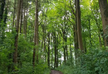
Superbe parcours boisé 🌳🌲.