


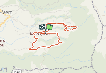

6.4 km | 10 km-effort

User GUIDE


FREE GPS app for hiking
 SityTrail
IGN / Geographical institutes
SityTrail World
The world is yours!
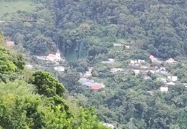
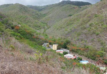
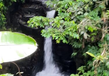
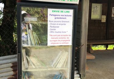
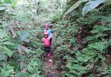
Trail Walking of 7.1 km to be discovered at Martinique, Unknown, Le Morne-Vert. This trail is proposed by manuelPerez.
Boucle en 8 et plus

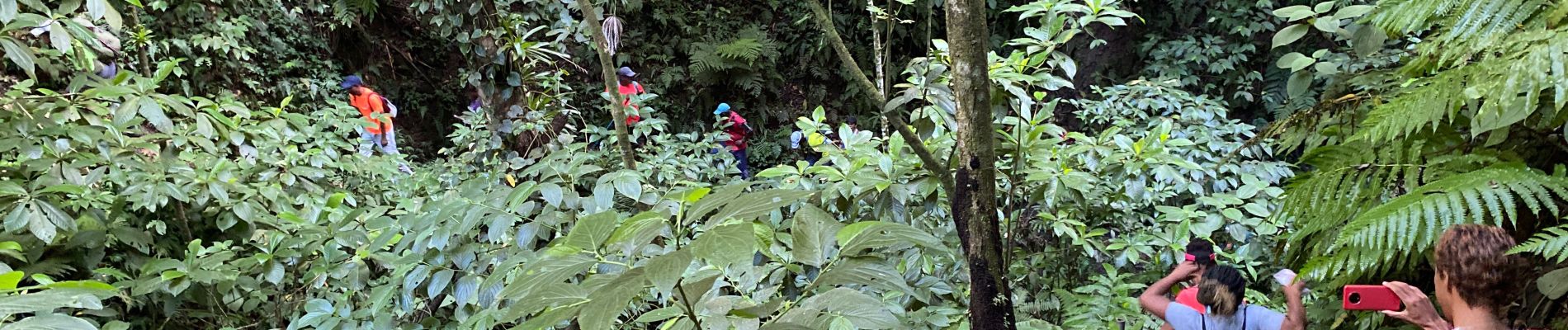
Walking
Walking
Walking
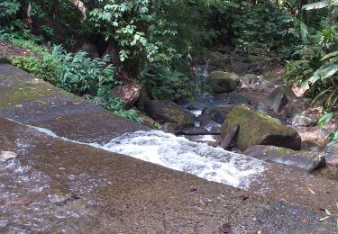
Walking
Walking

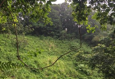
Walking
Walking
Walking
Walking