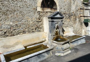
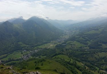
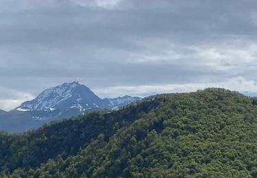
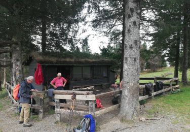
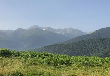
Trail Walking Labassère - Labassère, le pic Labassère - G3 - TC - Photo

Labassère, le pic Labassère - G3 - TC

 JACQUESD
JACQUESD

User

© OpenStreetMap contributors
Length
Length
8.3 km
Boucle
Boucle
Yes
Creation date :
2022-12-17 14:13:49.759
Updated on :
2022-12-17 14:13:49.759

(0 Reviews)

Walking
Walking
3h19
Difficulty : Difficult

Scan this QR Code to open this trail in the SityTrail application

FREE GPS app for hiking

Logo SityTrail SityTrail

IGN / Geographical institutes

Download SityTrail from the App Store Download SityTrail from Google Play

Logo SityTrail SityTrail World

The world is yours!

Download SityTrail from the App Store Download SityTrail from Google Play Download SityTrail on Huawei AppGallery

About

Trail Walking of 8.3 km to be discovered at Occitania, Hautespyrenees, Labassère. This trail is proposed by JACQUESD.

Elevation profile

Points of interest

Point of interest Labassère - WP7 fin de la crête - Photo
JACQUESD
Point of interest Labassère - WP6 pic de Labassère - Photo
JACQUESD
Point of interest Bagnères-de-Bigorre - WP5  montée vers pic - Photo
JACQUESD
BAGNÈRES-DE-BIGORRE 
Point of interest Bagnères-de-Bigorre - WP4 Intersection - Photo
JACQUESD
BAGNÈRES-DE-BIGORRE 
Point of interest Bagnères-de-Bigorre - WP3 traverser La Gailleste - Photo
JACQUESD
BAGNÈRES-DE-BIGORRE 
Point of interest Labassère - WP2 WP9  intersection - Photo
JACQUESD

Positioning

Country:
France
Region :
Occitania
Department/Province :
Hautespyrenees
Municipality :
Labassère
Location:
Unknown
Start:(UTM)
263535 ; 4771393 (31T) N.

Trails nearby

Trail Walking Germs-sur-l'Oussouet - FEU 2015 - Etape 6 - Photo
Walking
Blavis

Walking

Easy
(3)
Germs-sur-l'Oussouet, Occitania, Hautespyrenees, France
17.3 km | 25 km-effort
5h 6min
No
Trail Walking Bagnères-de-Bigorre - FEU 2015 - Etape 5 - Photo
Walking
Blavis

Walking

Easy
(1)
Bagnères-de-Bigorre, Occitania, Hautespyrenees, France
18.2 km | 30 km-effort
6h 29min
No
Trail Mountain bike Bagnères-de-Bigorre - Randonnée 1 mai haut de Bagneres  - Photo
Mountain bike
fred47

Mountain bike

Very difficult
Bagnères-de-Bigorre, Occitania, Hautespyrenees, France
28 km | 38 km-effort
3h 18min
Yes
Trail Walking Bagnères-de-Bigorre - tour du castelmouly - Photo
Walking
Martinet.Claude

Walking

Easy
(2)
Bagnères-de-Bigorre, Occitania, Hautespyrenees, France
12.7 km | 20 km-effort
4h 3min
Yes
Trail Walking Bagnères-de-Bigorre - 2023 09 23 CHEMIN du PIÉMONT PYRÉNÉEN - 16ème étape : Bagnères de Bigorre - Lourdes - Photo
Walking
LEGUE

Walking

Medium
Bagnères-de-Bigorre, Occitania, Hautespyrenees, France
25 km | 32 km-effort
4h 39min
No
Trail Walking Pouzac - Randonnée autour de Pouzac - Photo
Walking
Denis couderc

Walking

Difficult
Pouzac, Occitania, Hautespyrenees, France
9.2 km | 13.7 km-effort
2h 51min
Yes
Trail Mountain bike Bagnères-de-Bigorre - 28 avril 2023 - Photo
Mountain bike
fred47

Mountain bike

Difficult
Bagnères-de-Bigorre, Occitania, Hautespyrenees, France
25 km | 37 km-effort
2h 38min
Yes
Trail Walking Labassère - 2022 Pic de Labassere - Photo
Walking
chasle

Walking

Easy
Labassère, Occitania, Hautespyrenees, France
9 km | 14.9 km-effort
2h 54min
Yes
Trail Walking Bagnères-de-Bigorre - Bagnères de Bigorre-Germs sur l'Ousset - Photo
Walking
dagobert5612

Walking

Difficult
Bagnères-de-Bigorre, Occitania, Hautespyrenees, France
21 km | 32 km-effort
7h 29min
No


Close
My subscriptions