


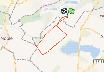

11.2 km | 14.5 km-effort


User


FREE GPS app for hiking
 SityTrail
IGN / Geographical institutes
SityTrail World
The world is yours!
Trail Walking of 5.7 km to be discovered at Ile-de-France, Yvelines, Jouy-en-Josas. This trail is proposed by maryisa.
Promenade entre les fermes de Viltain et d'orsigny sur le plateau de Saclay.


Walking

Walking
Walking

Walking

Walking

Walking

Walking
Walking
viletain
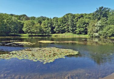
Beaux points de vue, trop de bitume et pas assez d'ombre. Aucune difficulté, bien pour se dégourdir, très calme.