


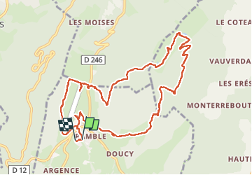

10.7 km | 18.6 km-effort


User


FREE GPS app for hiking
 SityTrail
IGN / Geographical institutes
SityTrail World
The world is yours!
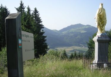
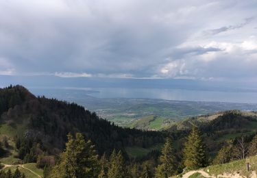
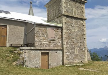
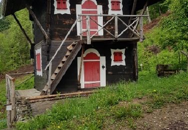
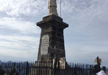
Trail Walking of 12.4 km to be discovered at Auvergne-Rhône-Alpes, Upper Savoy, Habère-Poche. This trail is proposed by colomb24.
superbe randonnée


Walking

Walking
Walking

Walking

Walking
Walking
Walking
Mountain bike

Walking