


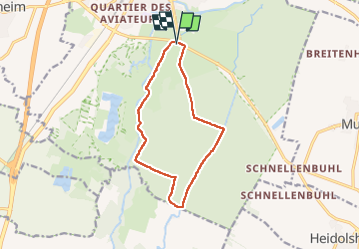

12 km | 17.2 km-effort

User


FREE GPS app for hiking
 SityTrail
IGN / Geographical institutes
SityTrail World
The world is yours!
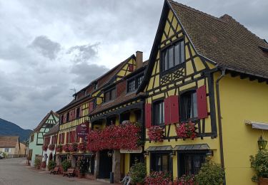
Trail Walking of 11.3 km to be discovered at Grand Est, Bas-Rhin, Sélestat. This trail is proposed by zazie.
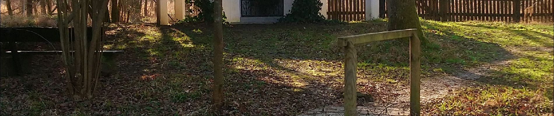
Attention, quelques passages boueux et deux passerelles à franchir.


Walking

Walking

Walking
On foot
On foot
Walking
Electric bike
Electric bike
Walking
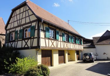
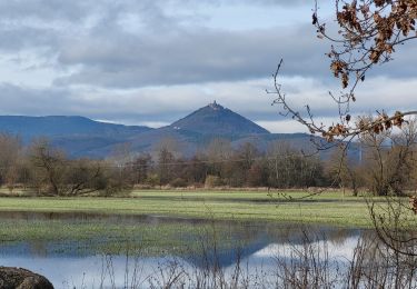
bucolique