


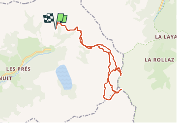

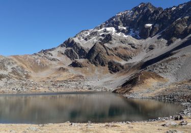
10.2 km | 17.6 km-effort

User


FREE GPS app for hiking
 SityTrail
IGN / Geographical institutes
SityTrail World
The world is yours!
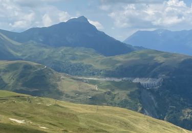
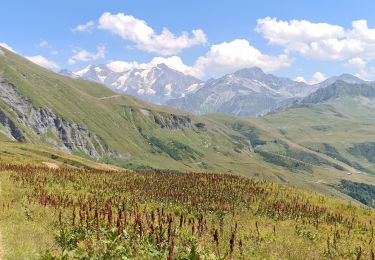
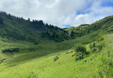
Trail Touring skiing of 19 km to be discovered at Auvergne-Rhône-Alpes, Savoy, Hauteluce. This trail is proposed by nadd73.
Départ de 1600m sur la route du col du Joli.
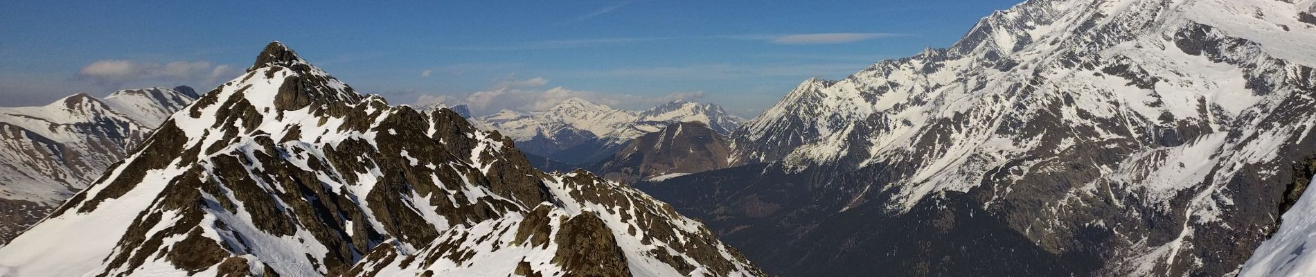
Rando un peu dans la station mais couloir sympathique. J'ai mis les couteaux.
Je mets moyen pour la longueur, et le couloir.


Walking
Walking

Walking
Walking
Walking
Walking
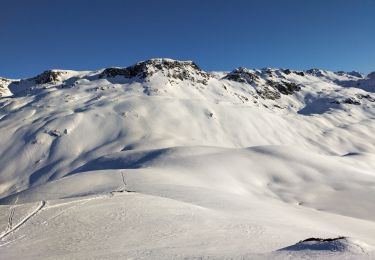
Touring skiing
Walking
Walking