


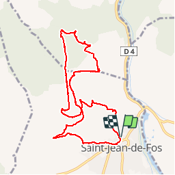


9.5 km | 12 km-effort

User


FREE GPS app for hiking
 SityTrail
IGN / Geographical institutes
SityTrail World
The world is yours!
Trail Walking of 11 km to be discovered at Occitania, Hérault, Saint-Jean-de-Fos. This trail is proposed by mrclic34.
Petite balade agréable !


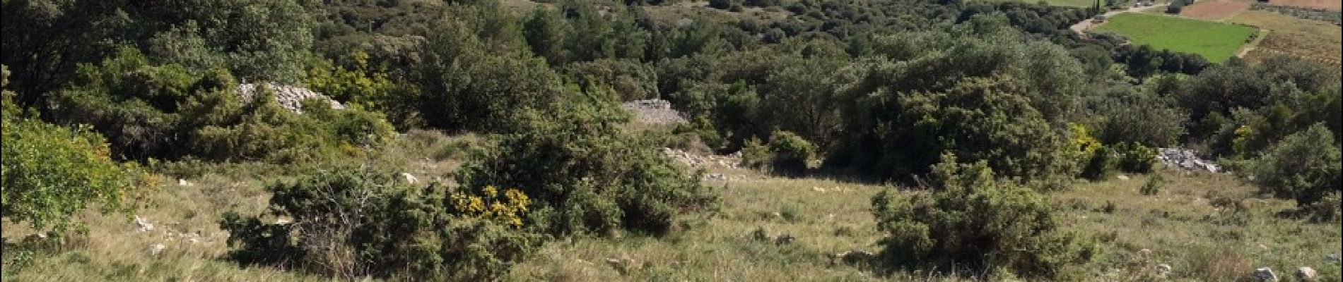
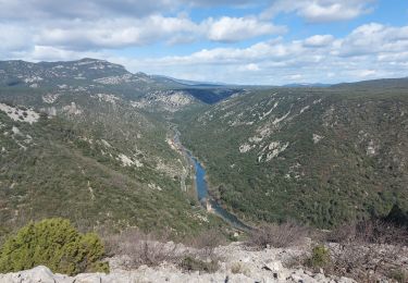
28 photos in total. Please click on a photo to see them all in the gallery.

Walking

Walking

Walking

Walking

Walking
Walking
Walking

Walking
Walking
Tres belle balade mais avec une montee assez raide pendant 45m au debut.
Tres belle balade mais avec une montee assez raide pendant 45m au debut.